Archaeological Fieldwork around Poole harbour 2008-2010 by Keith Jarvis and Alan Hawkins
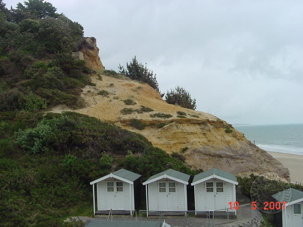
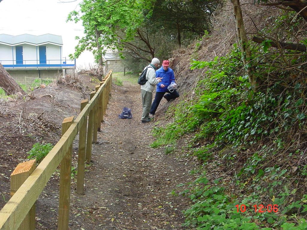
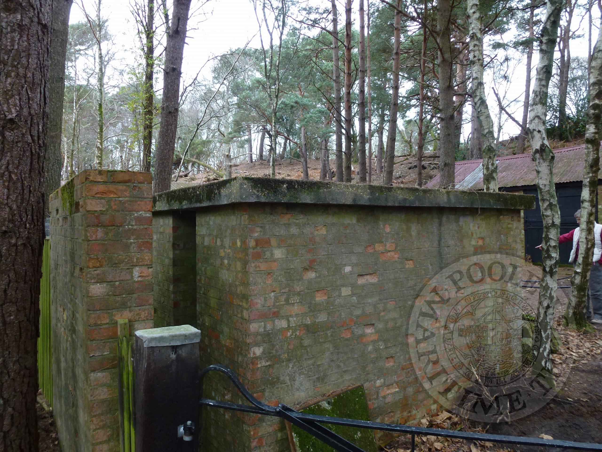
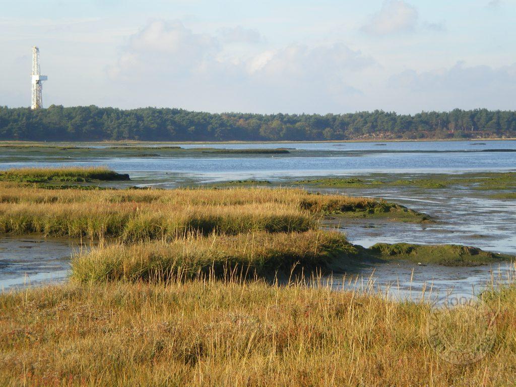
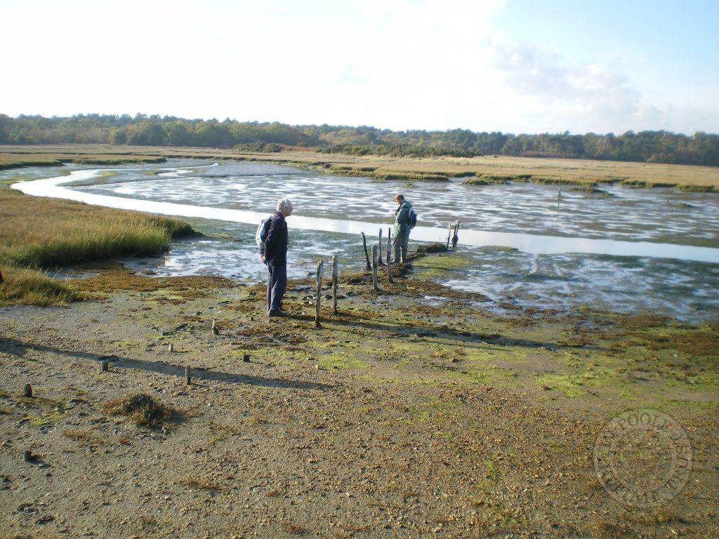
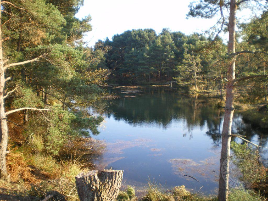
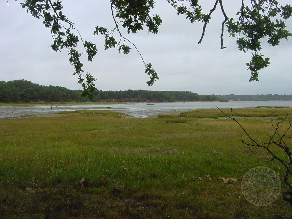
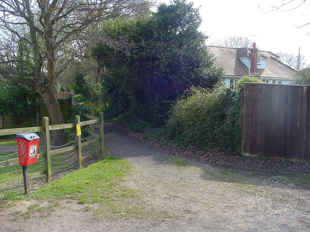
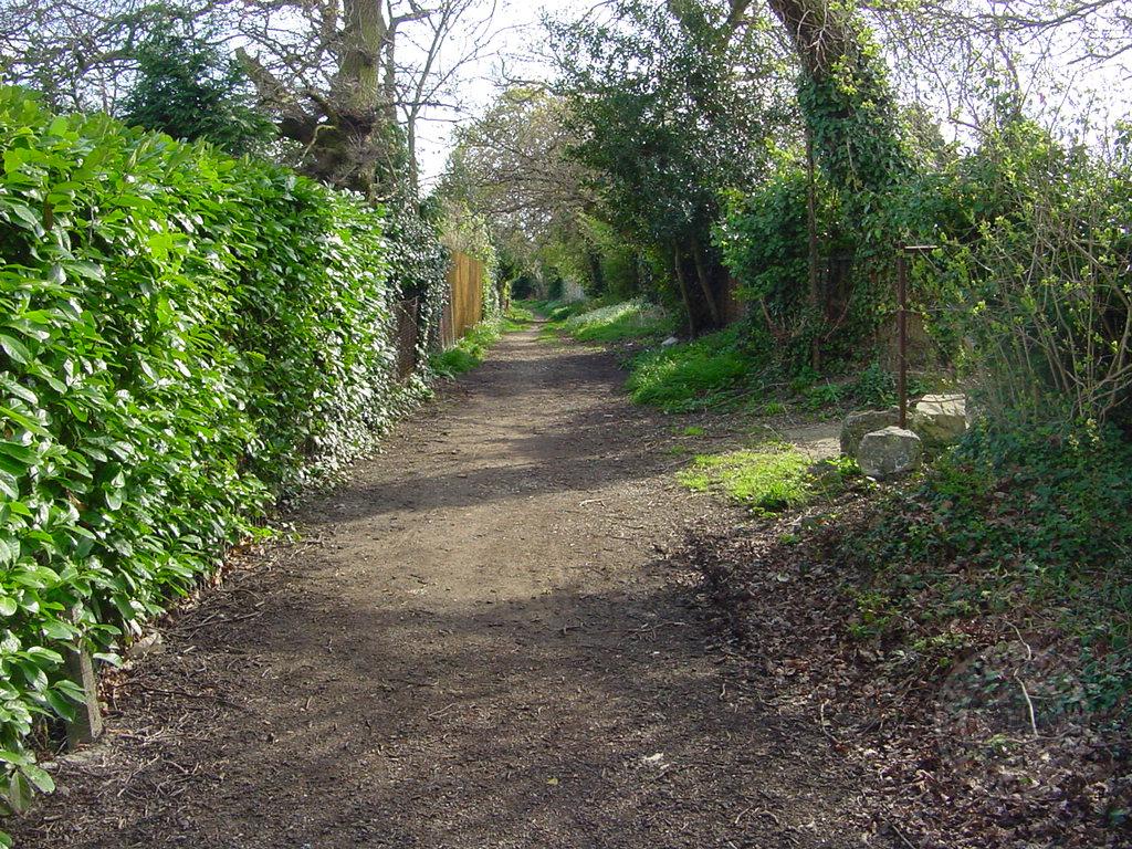
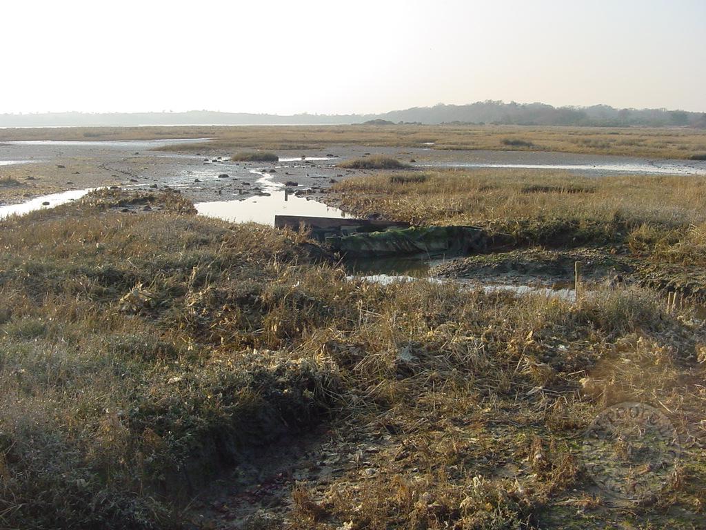
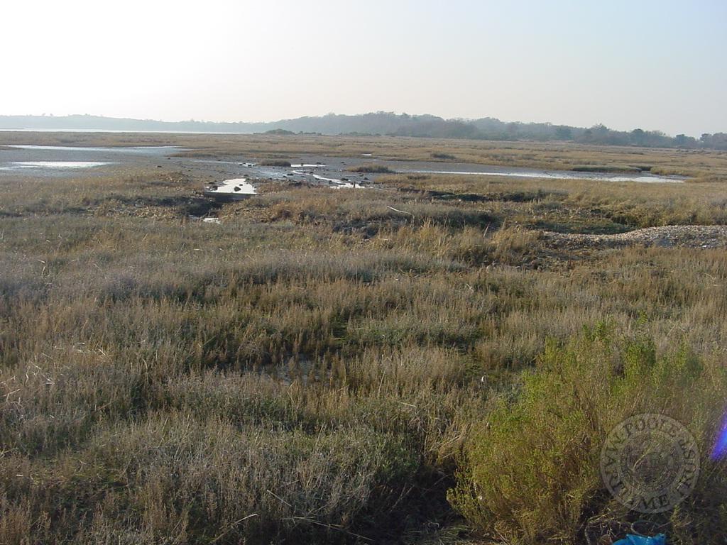
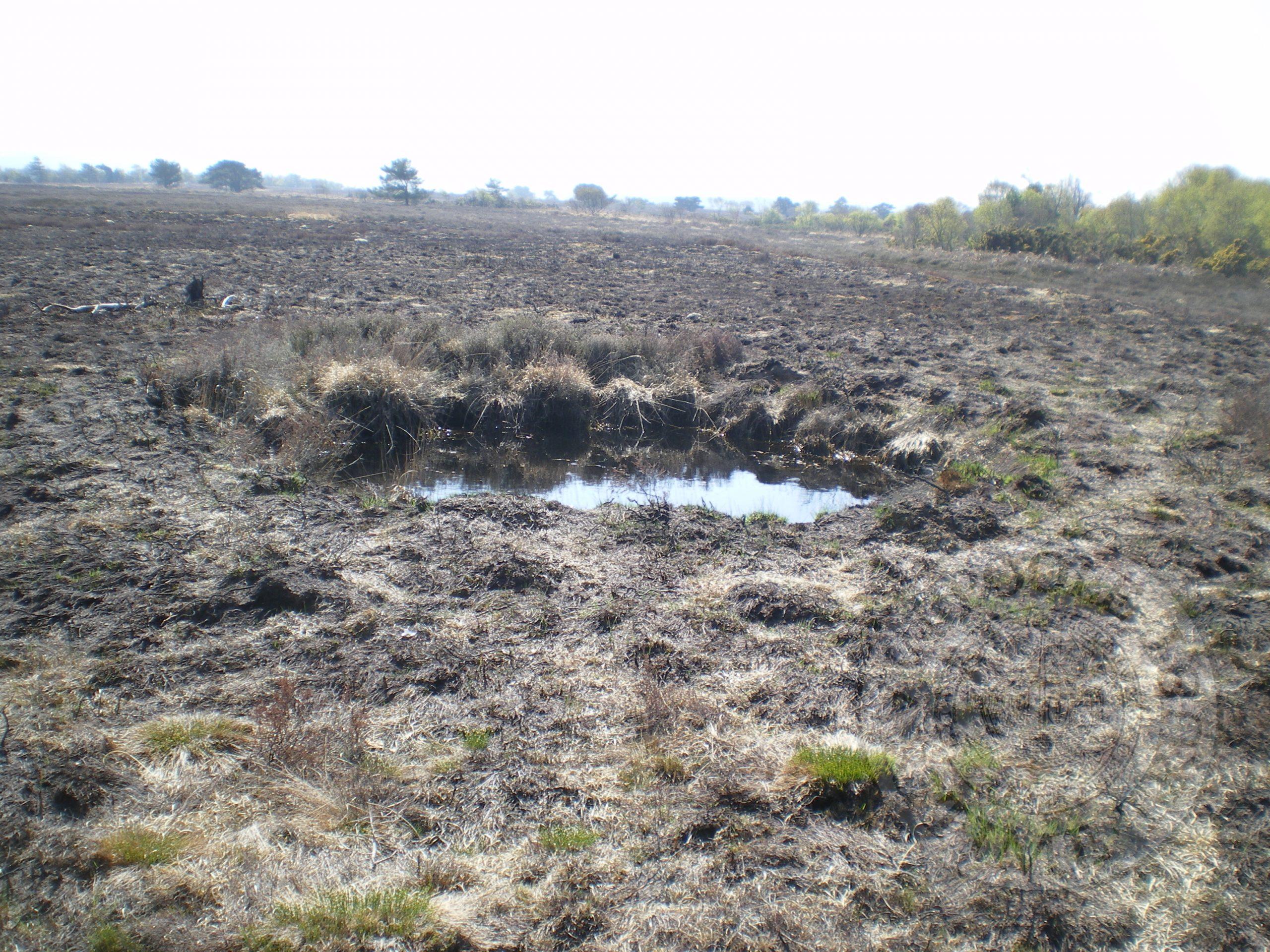
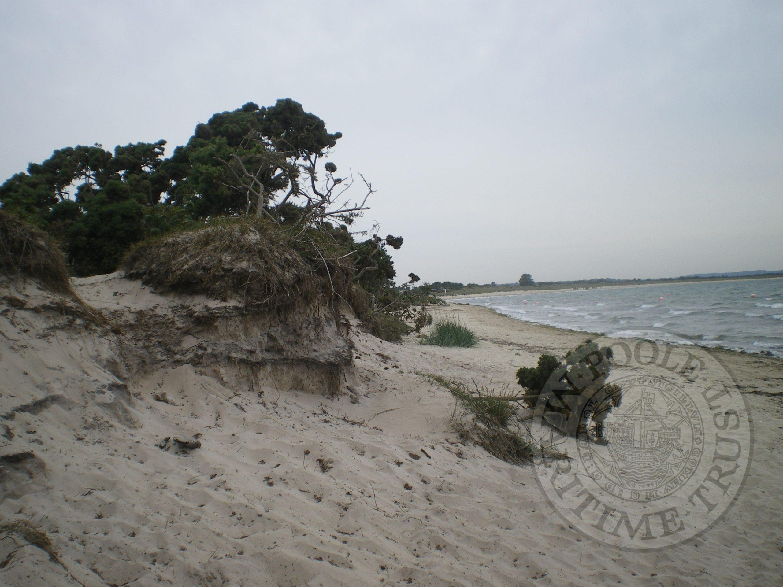
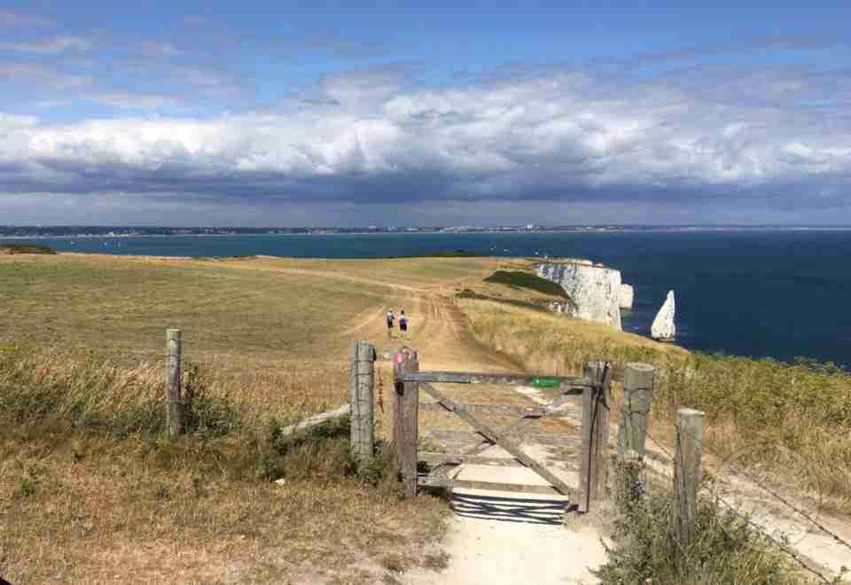
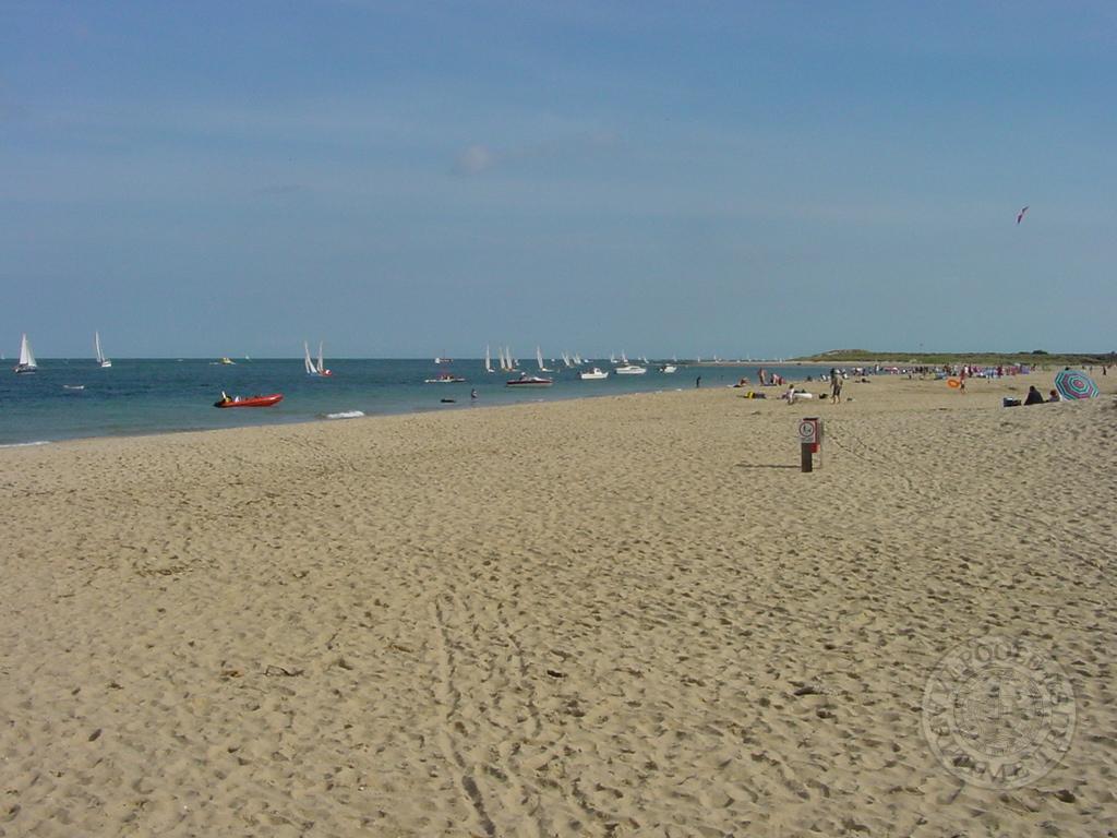
The walks were undertaken at different times and have been arranged to follow the shoreline round anticlockwise starting at Bestwall and ending at Studland. However, some walks are in a clockwise direction. Sometimes, but not always, the discoveries on an individual walk have been reversed to maintain the anticlockwise order. These walks are intended to give a rapid overview of the harbour edge. Notes are brief and the intention is that sites could be returned to and recorded fully. To investigate a shoreline properly one needs to observe the mudflats, the shore and the area behind the shore and it is usually impossible to cover all three in one walk. Also, to observe the mudflats requires a visit when the tide is low and this was not always possible.
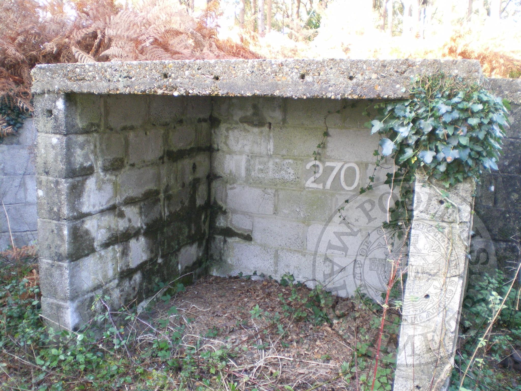
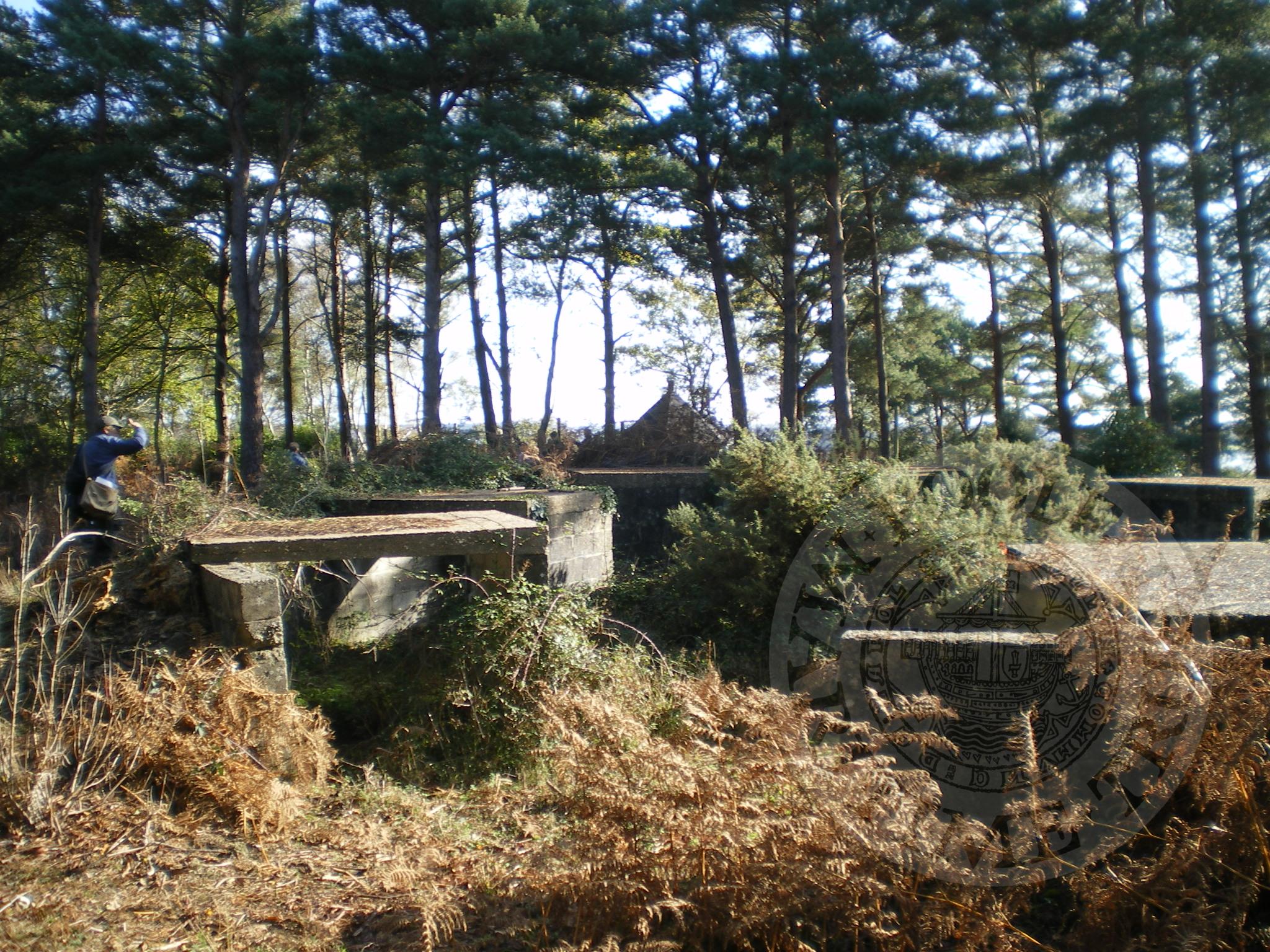
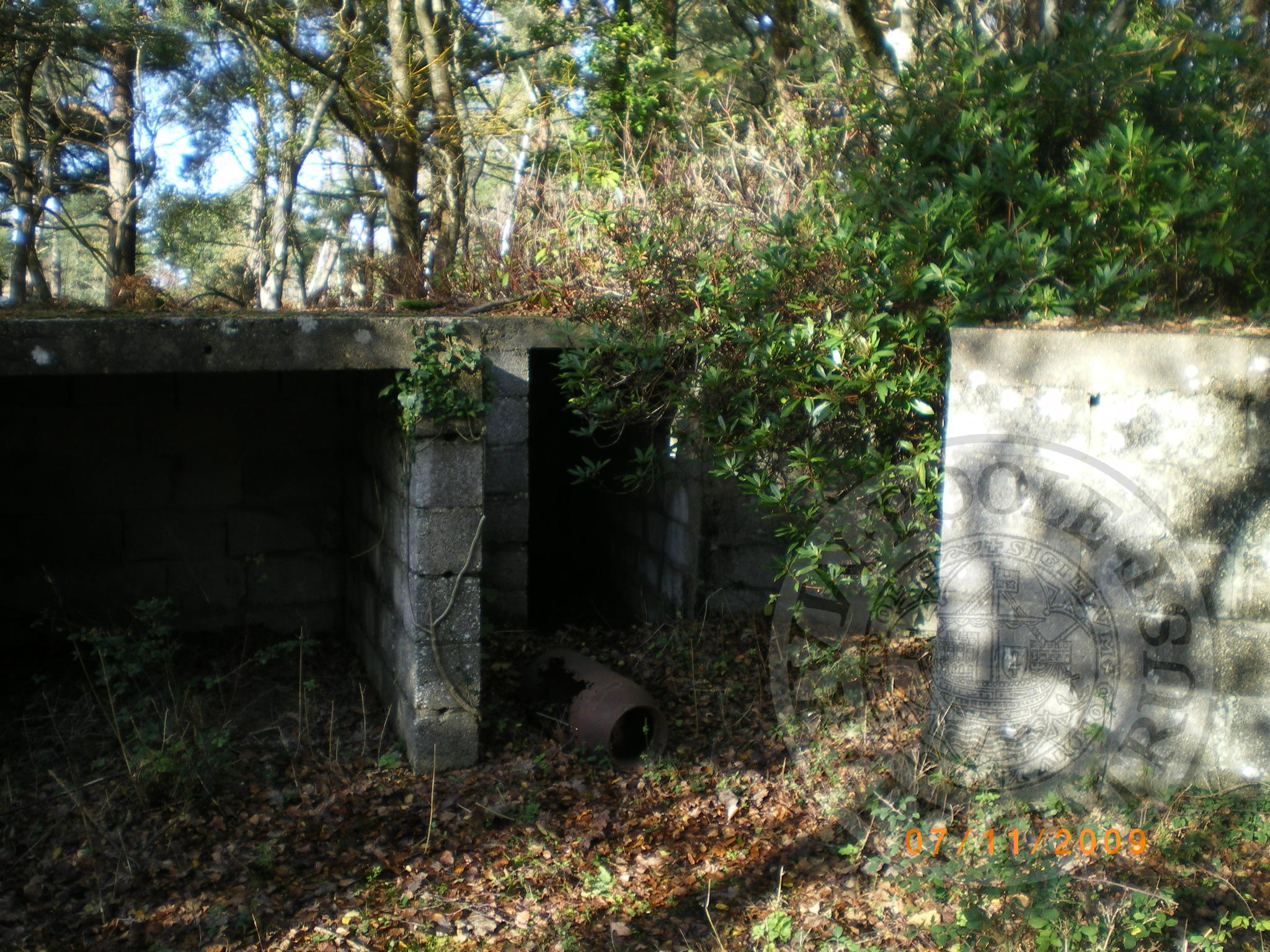
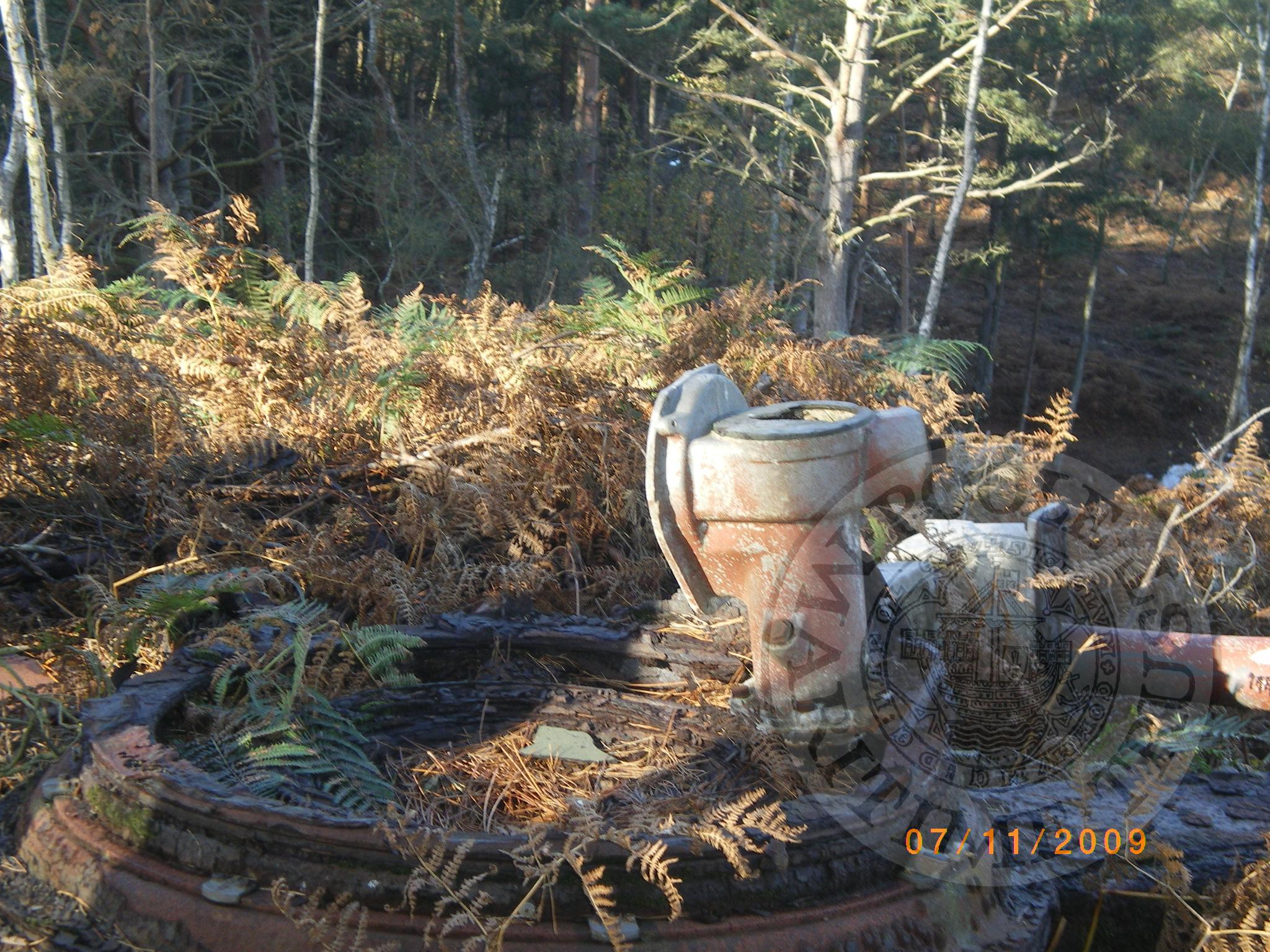
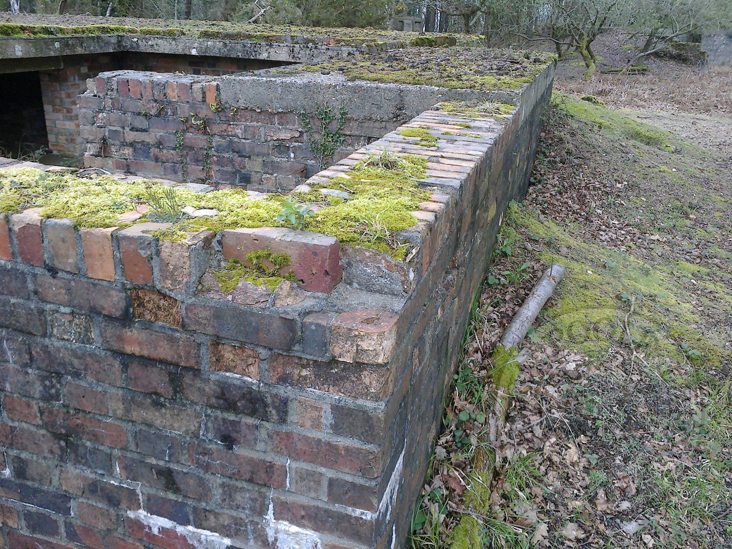
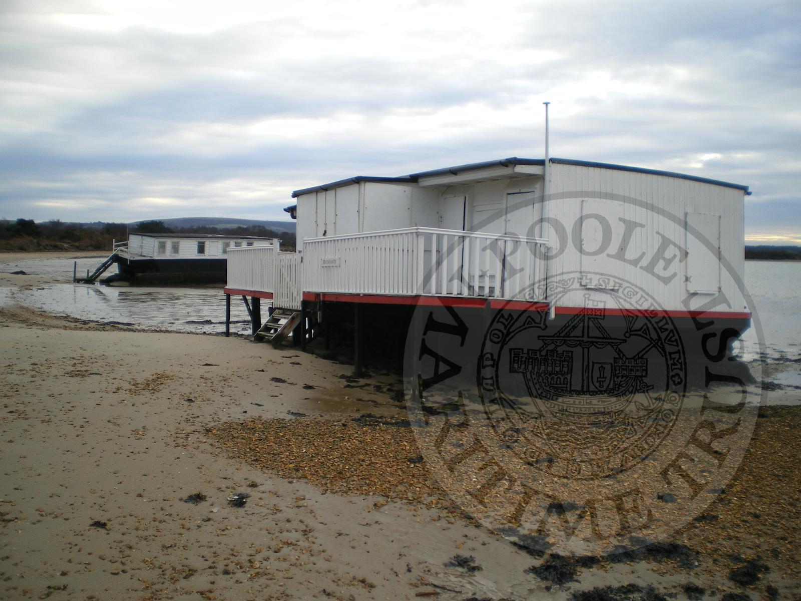
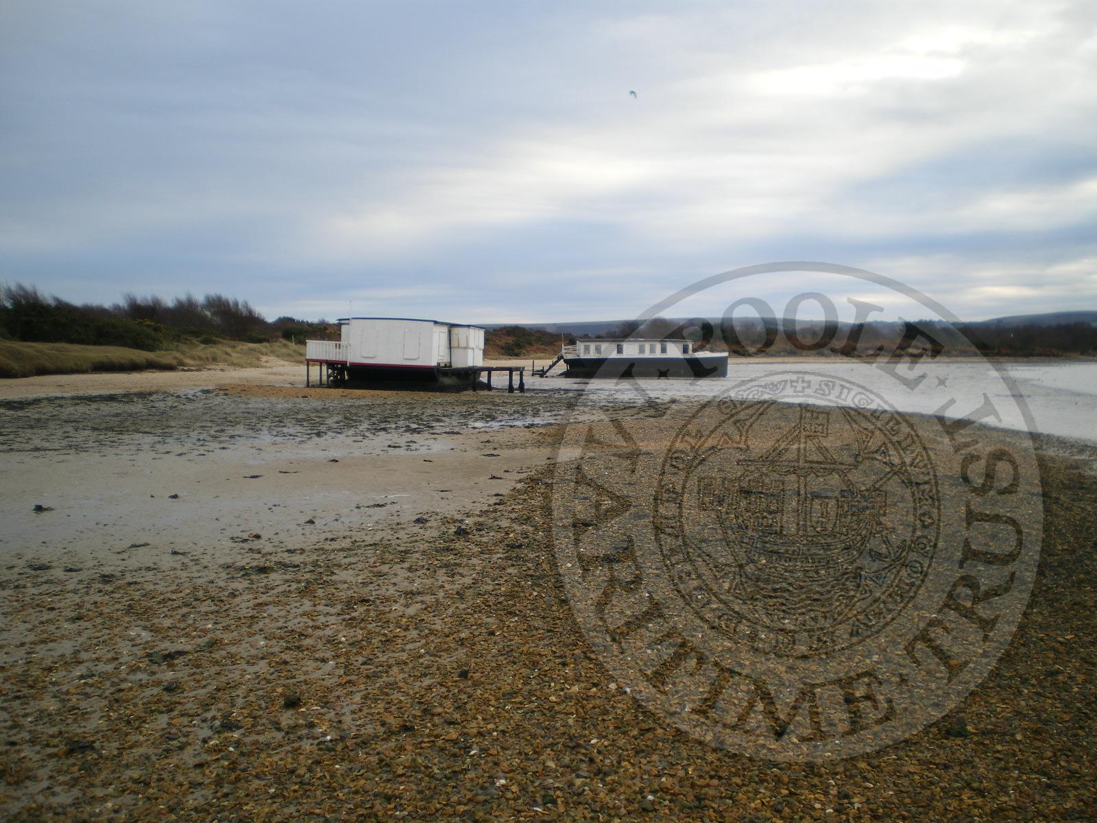
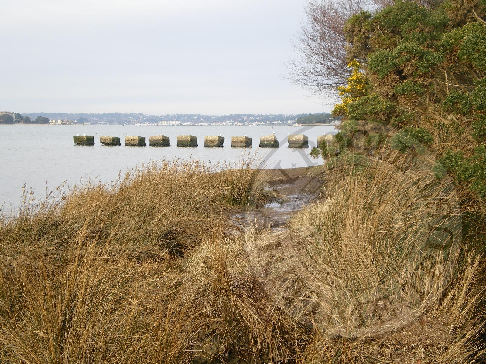
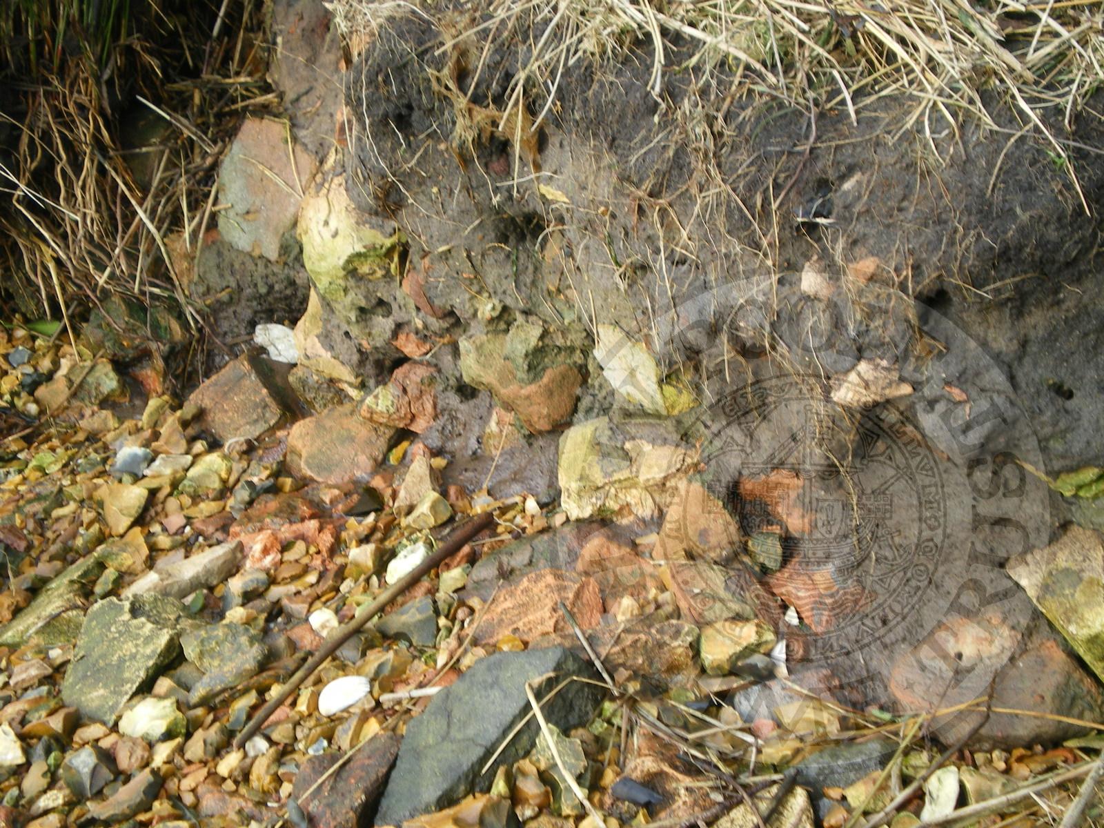
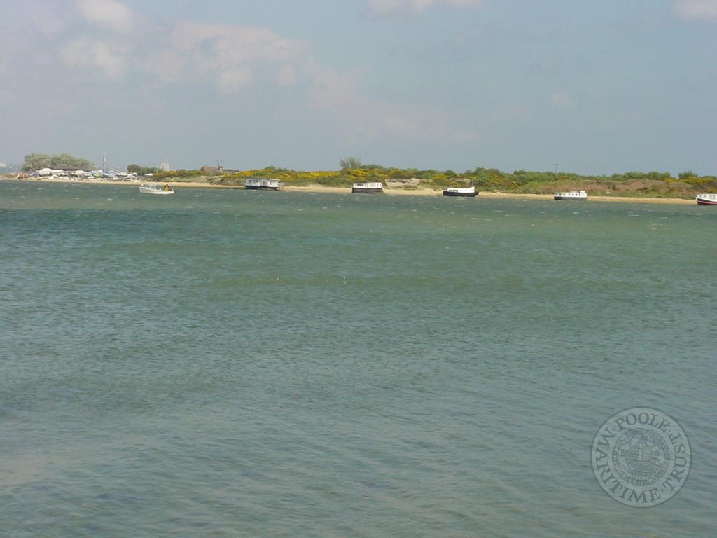
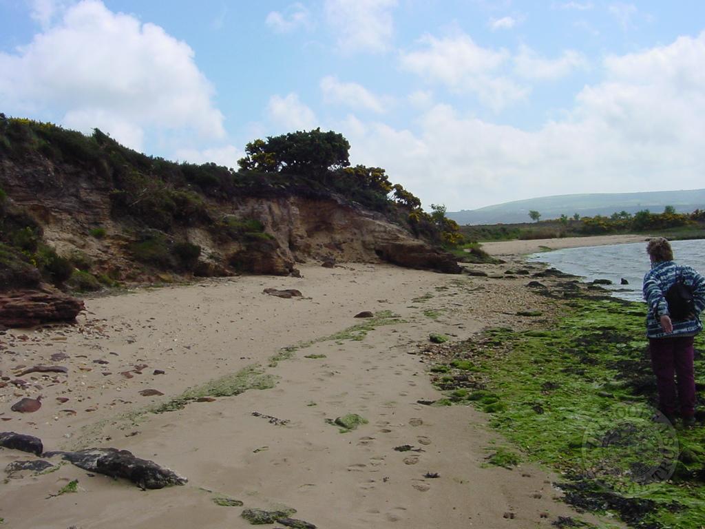
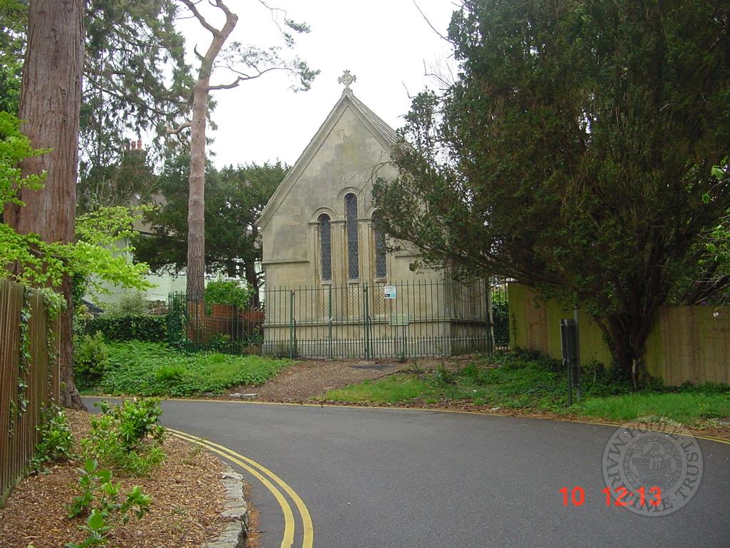
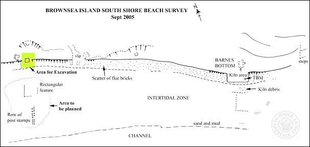
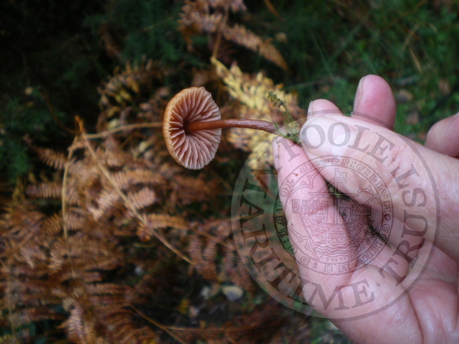
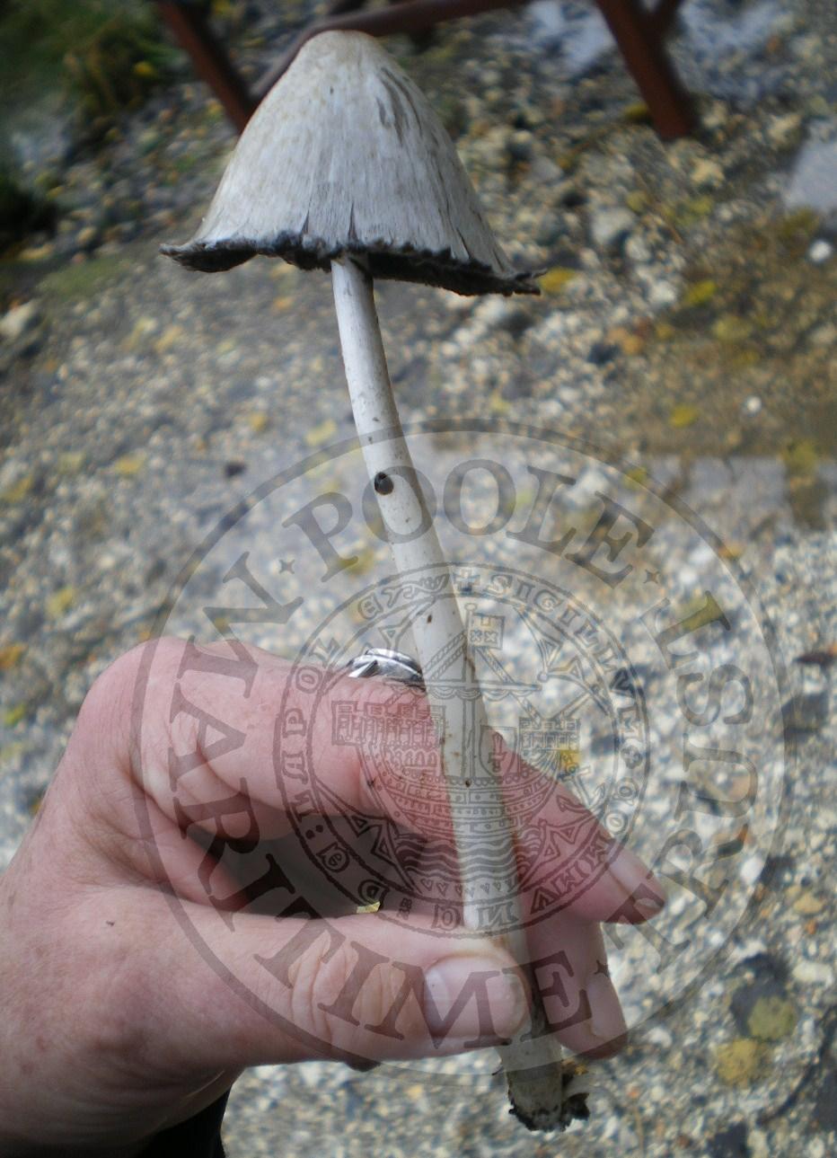
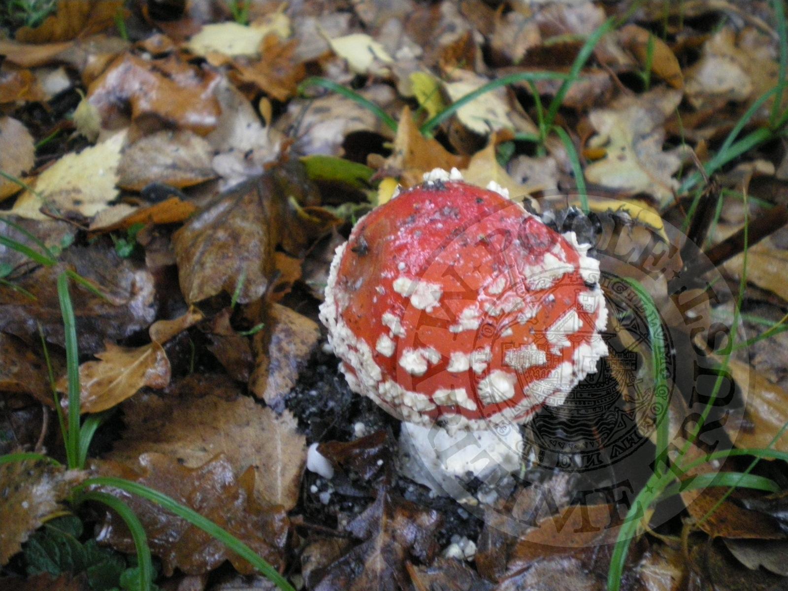
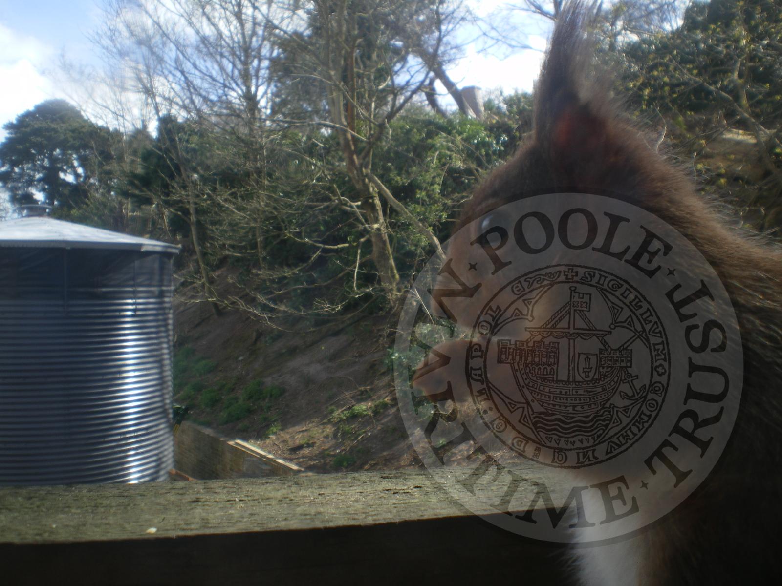
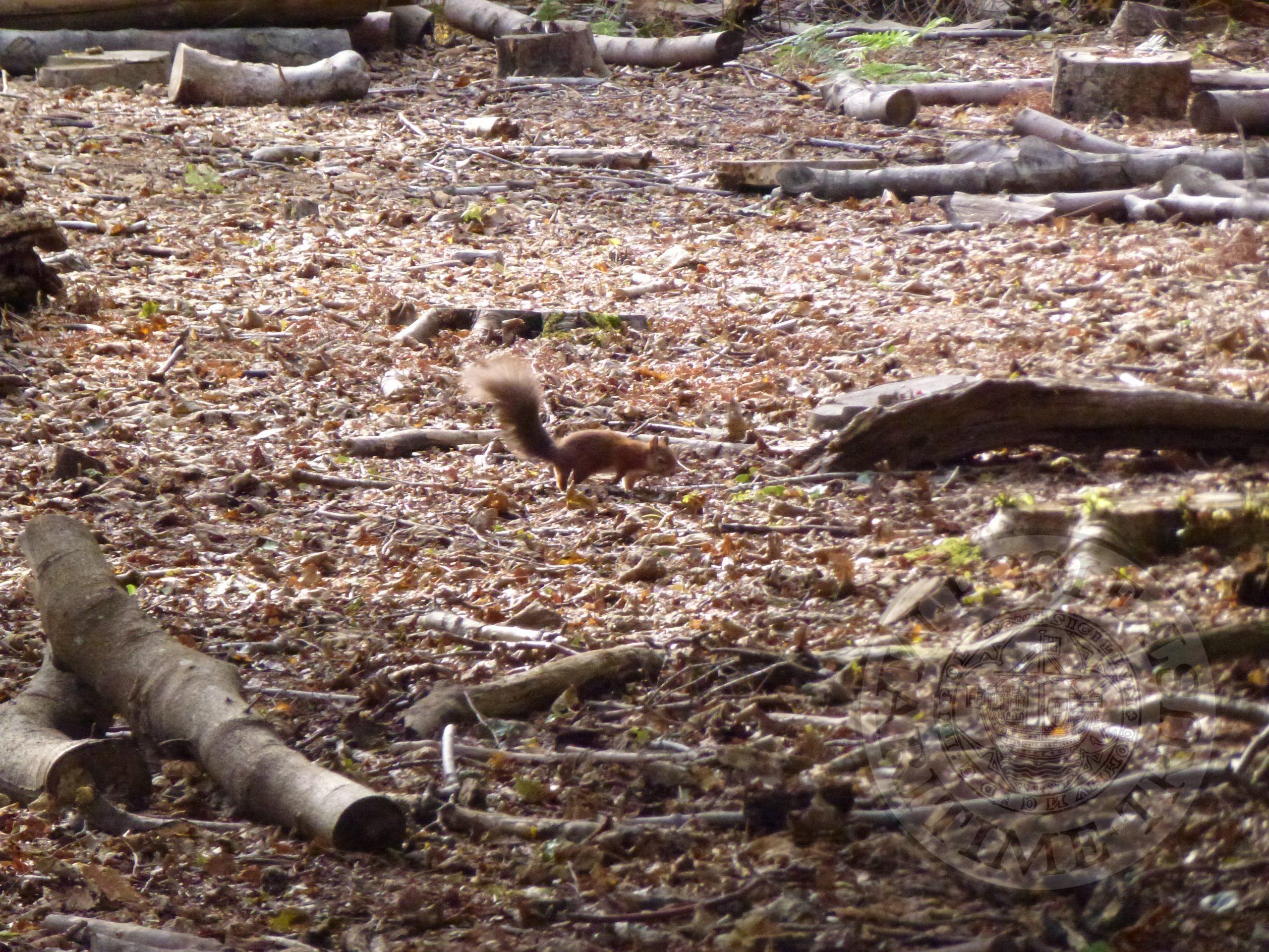
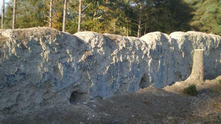
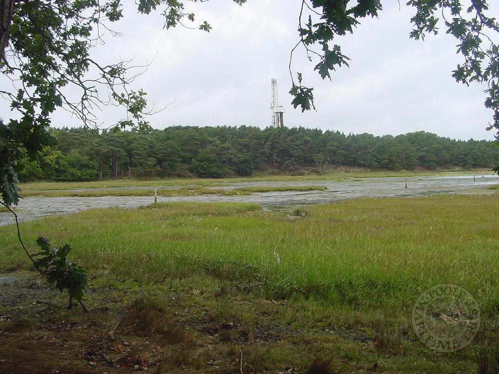
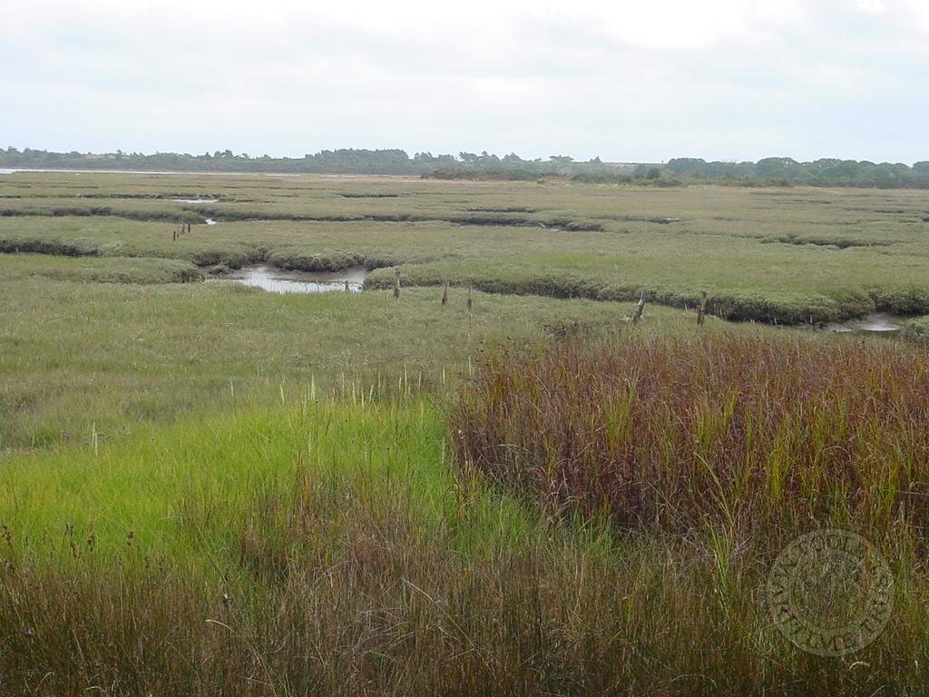
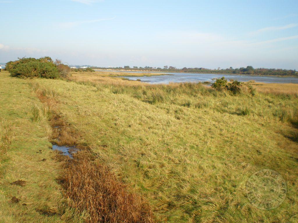
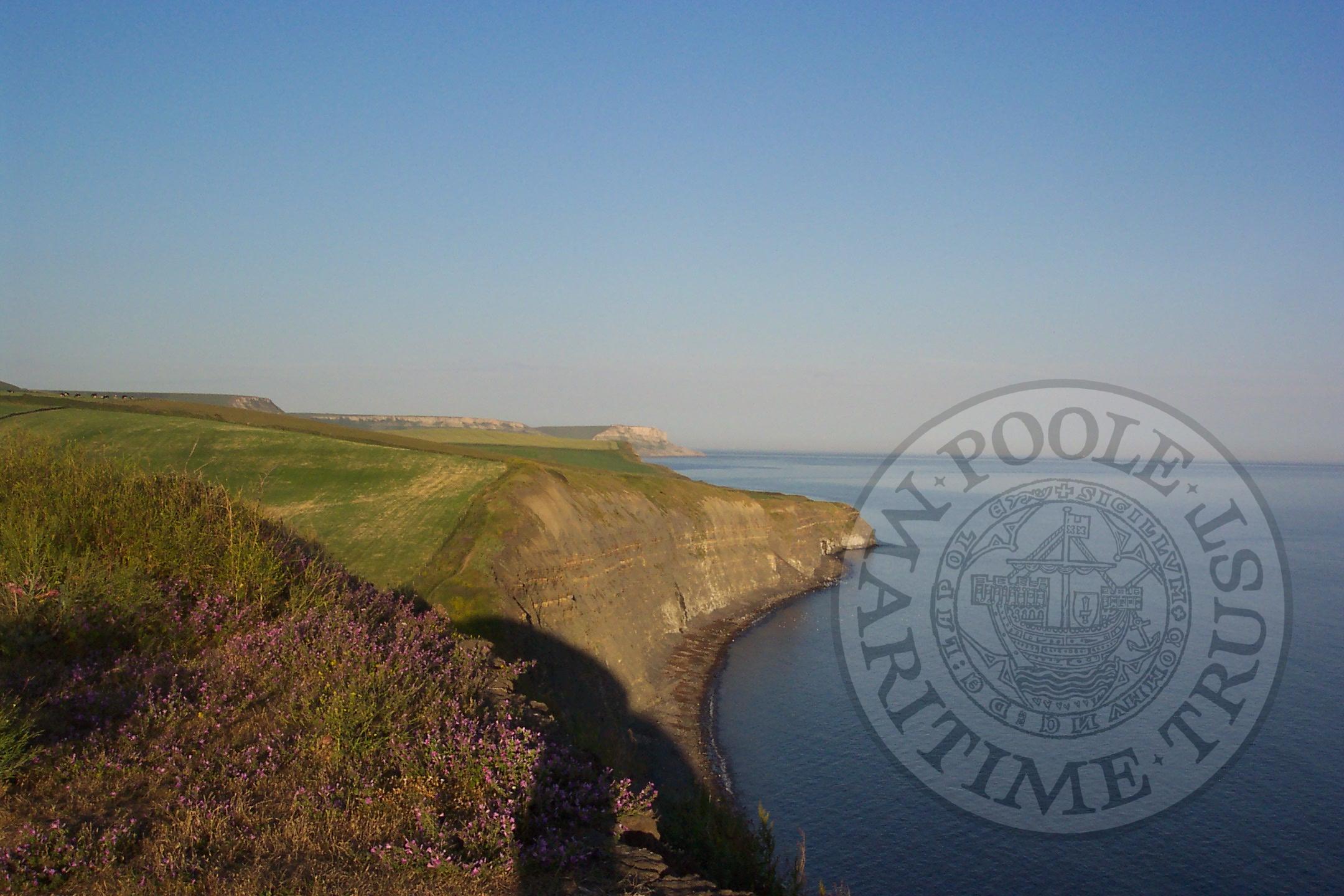
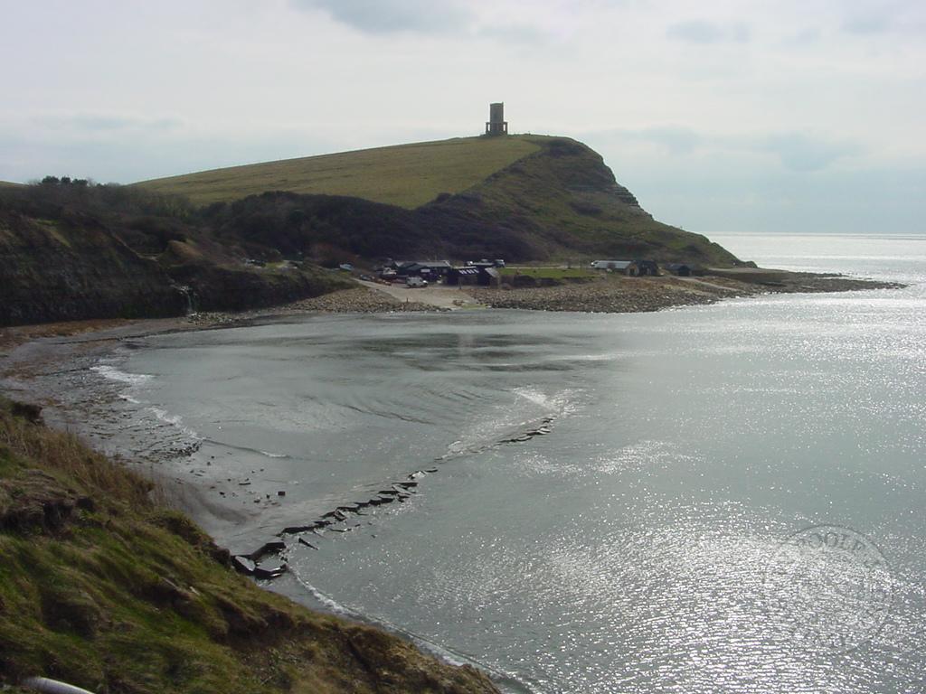
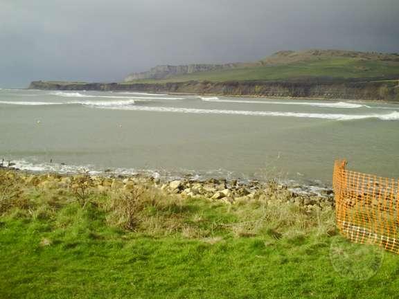
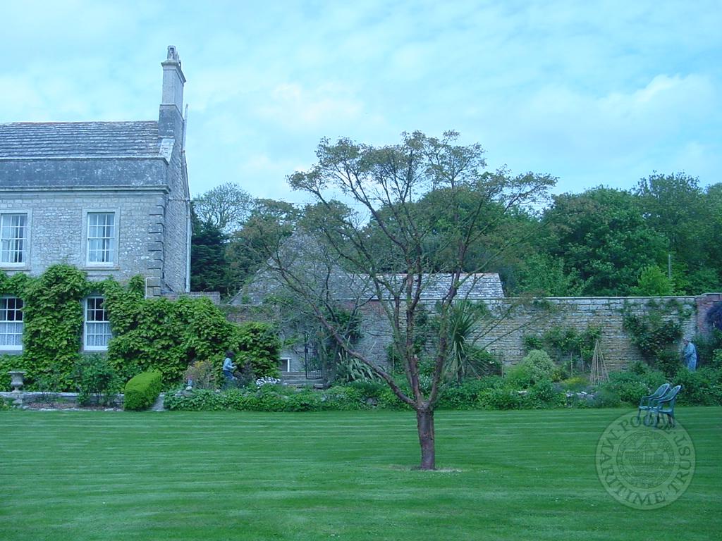
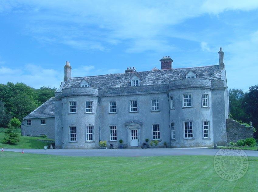
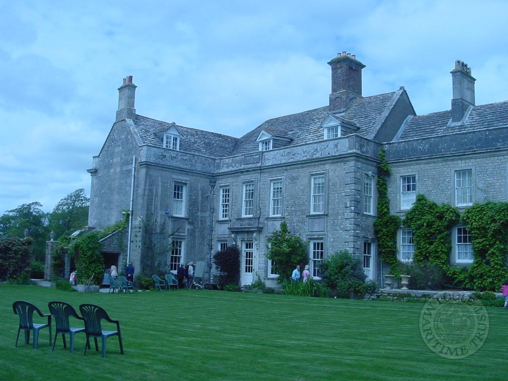
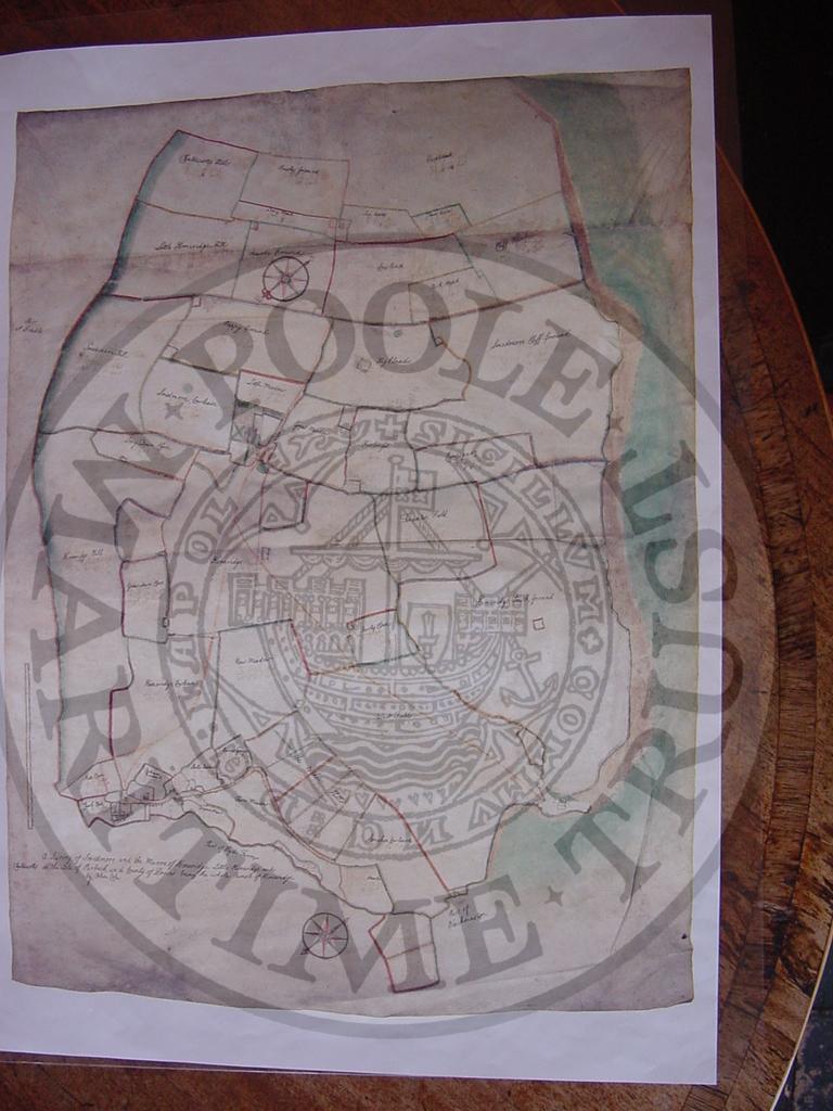
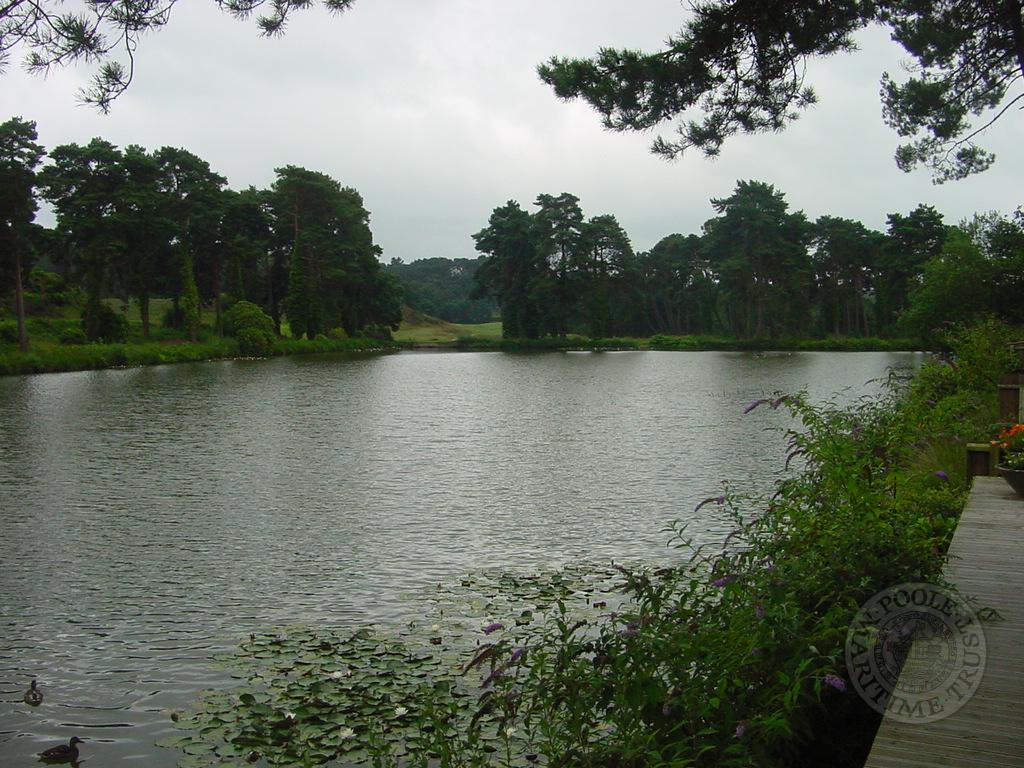
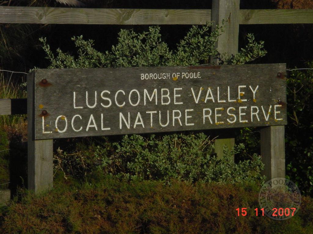
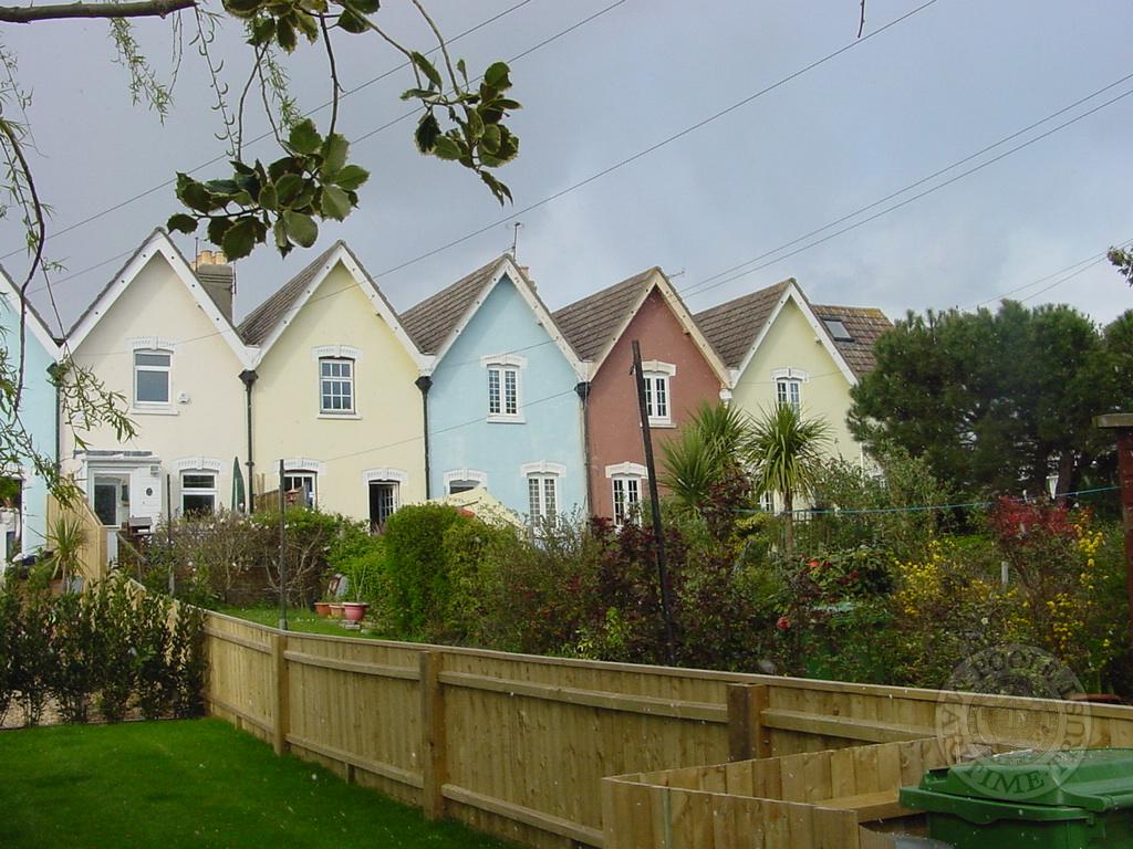
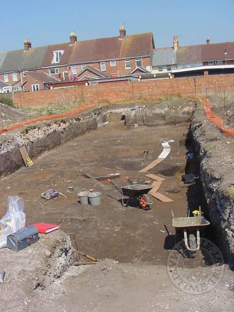
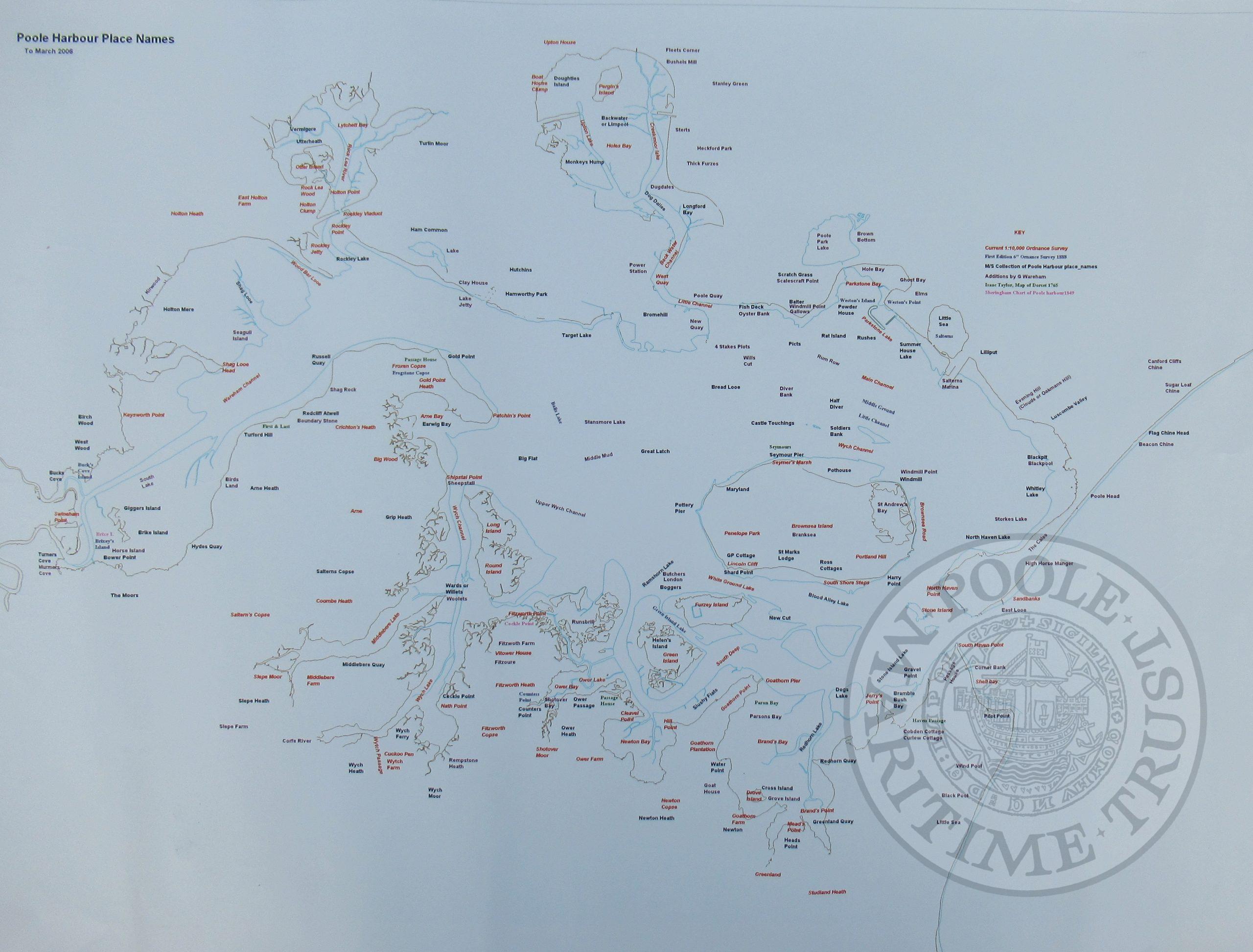
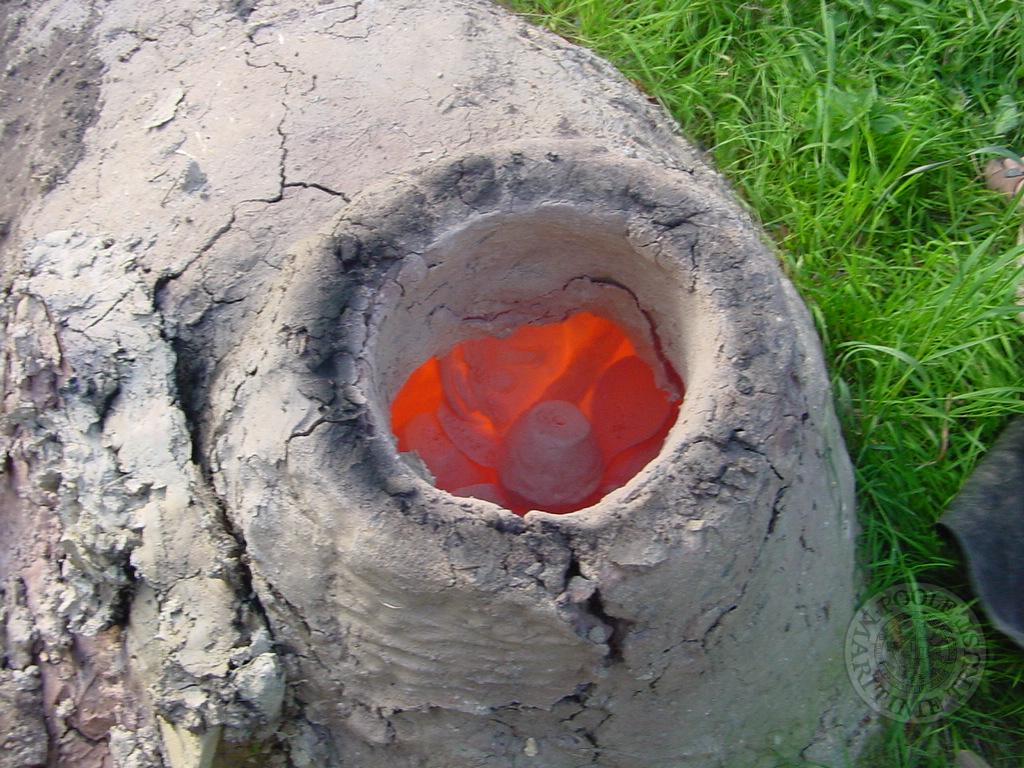
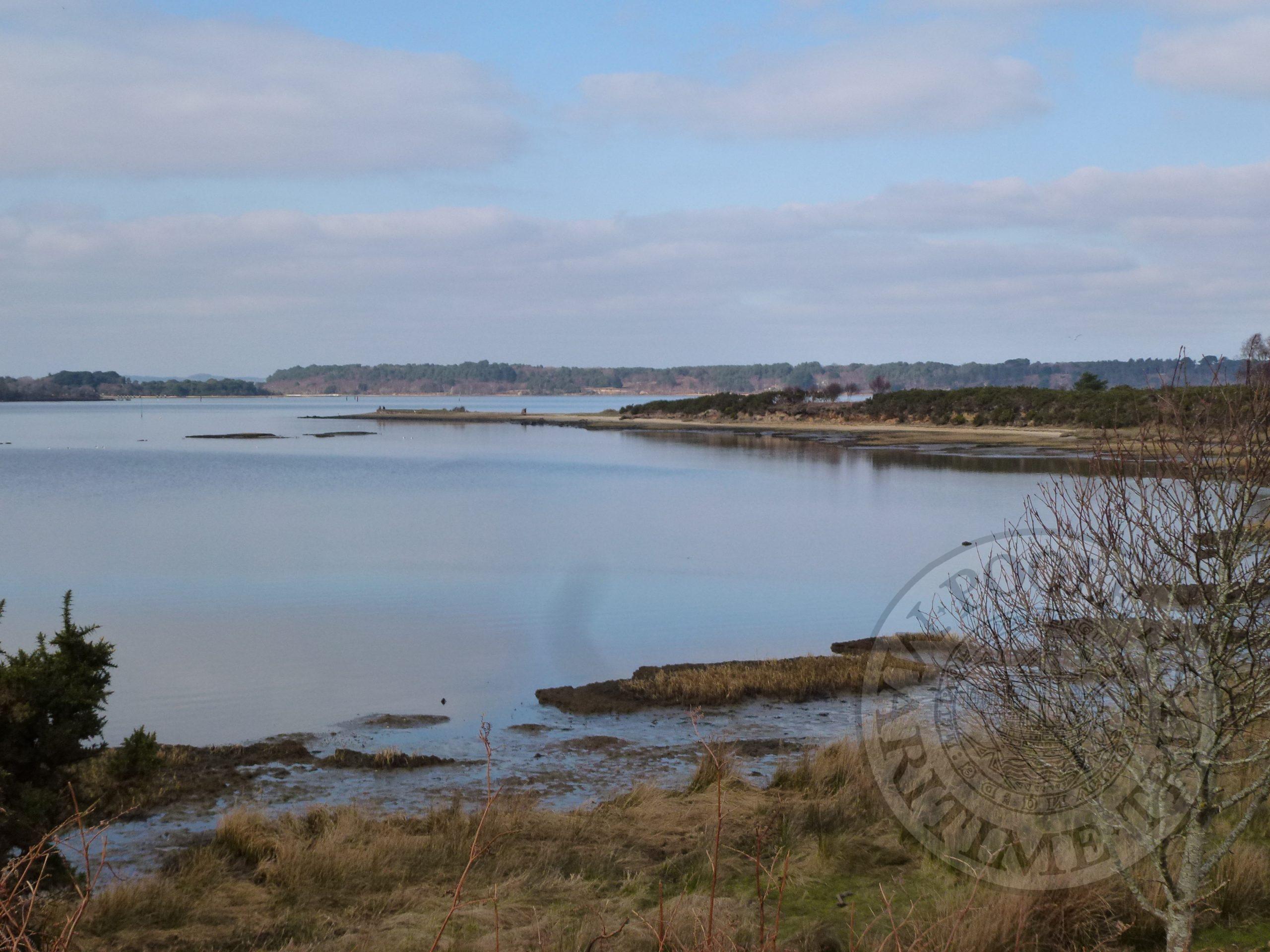
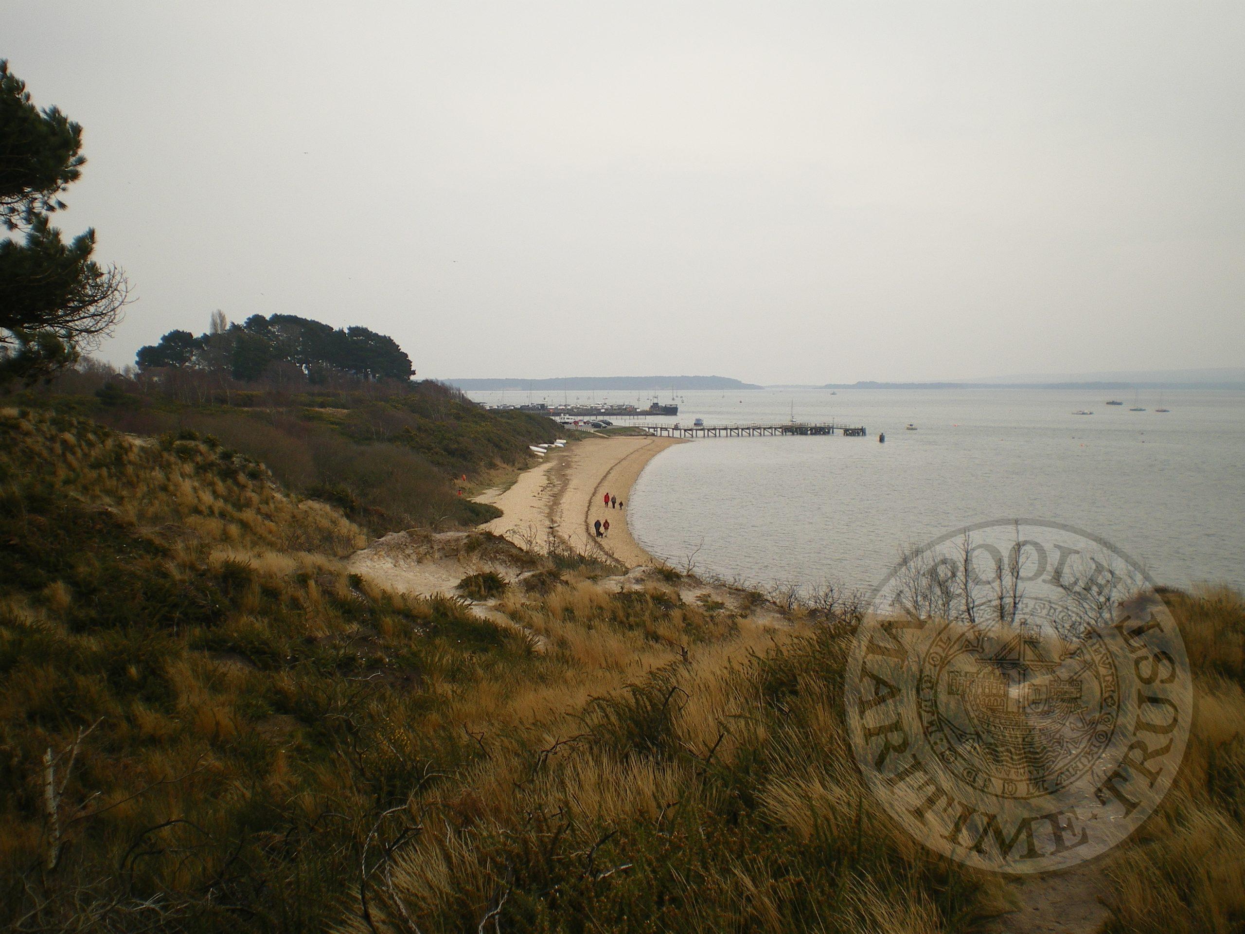
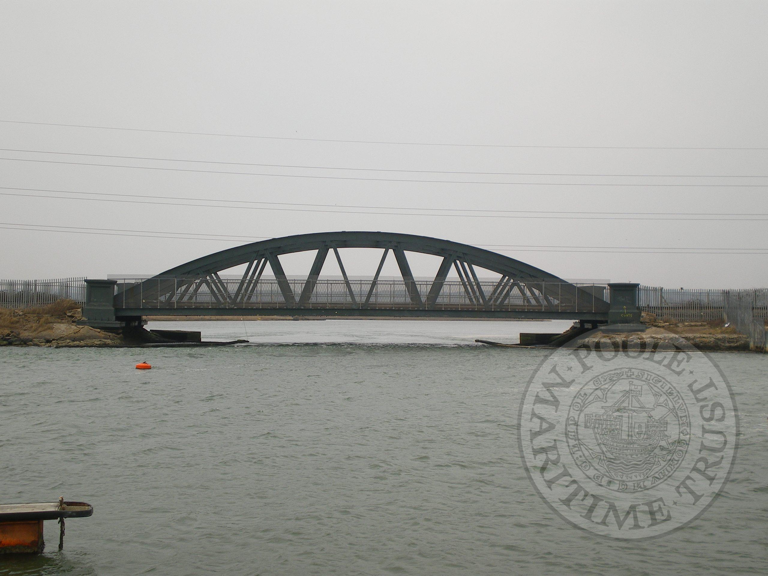
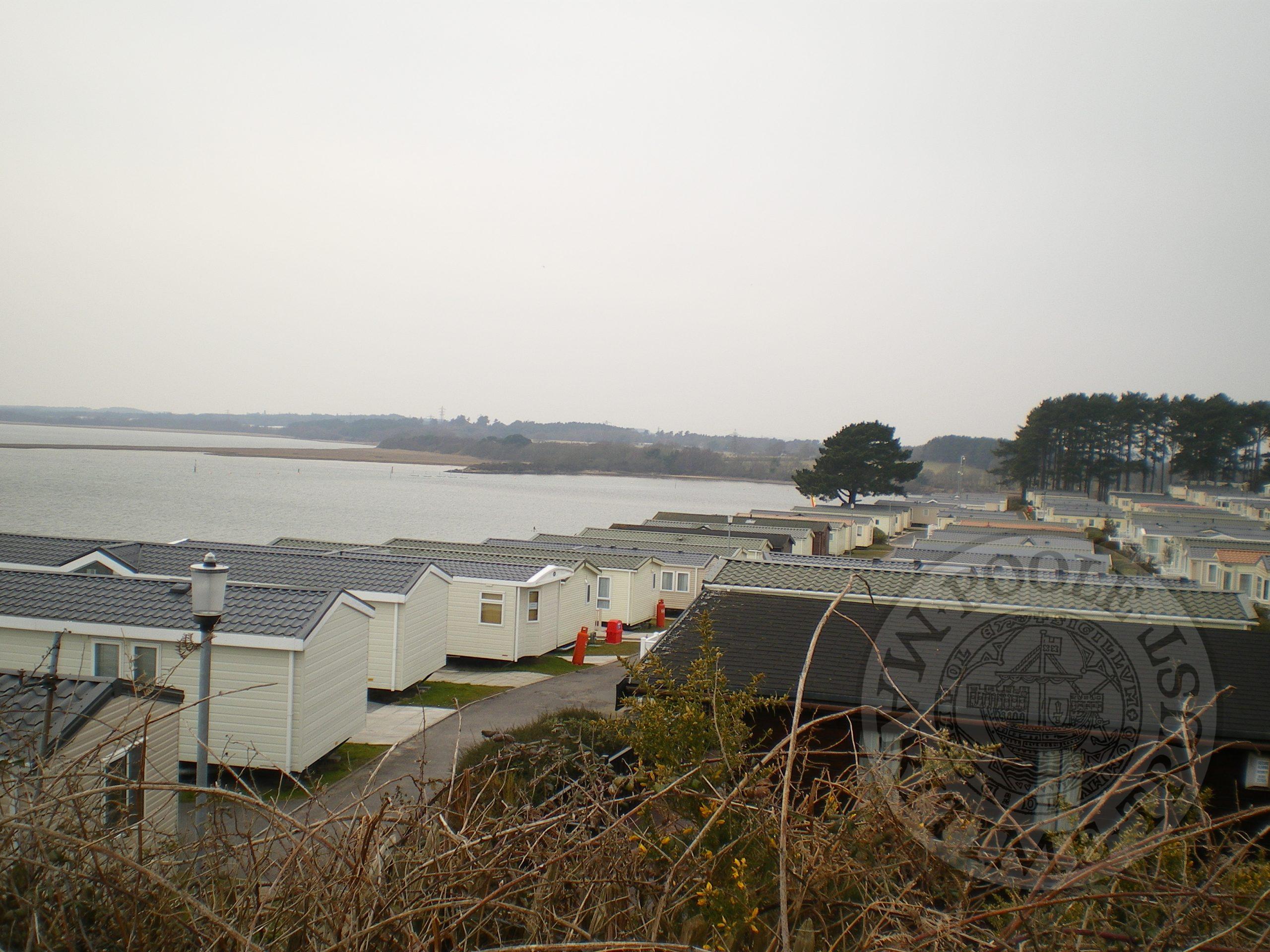
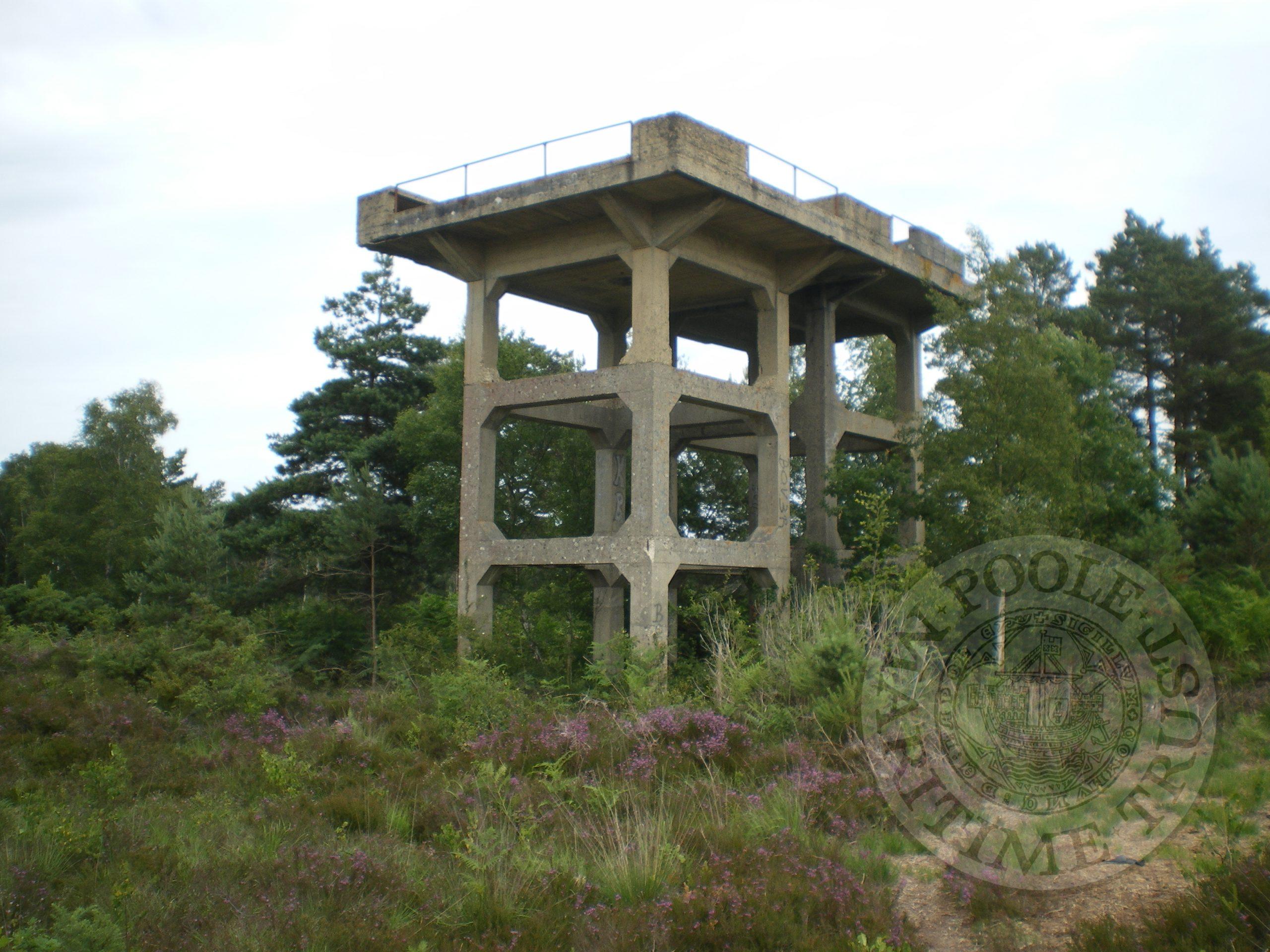
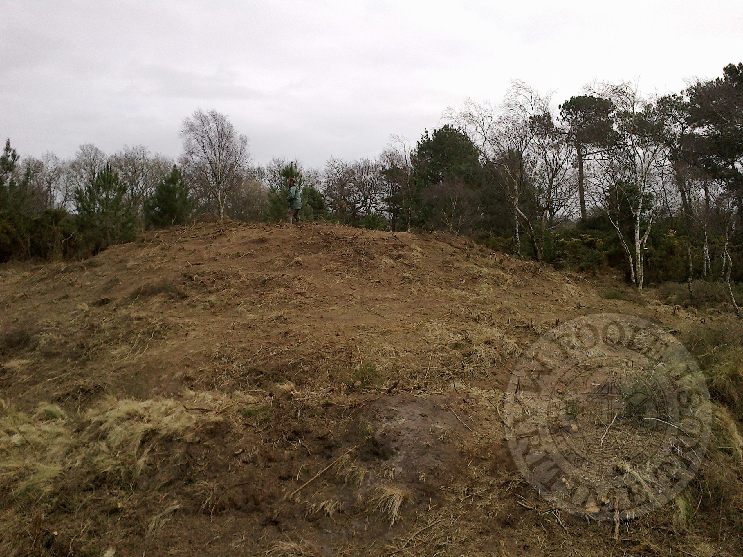
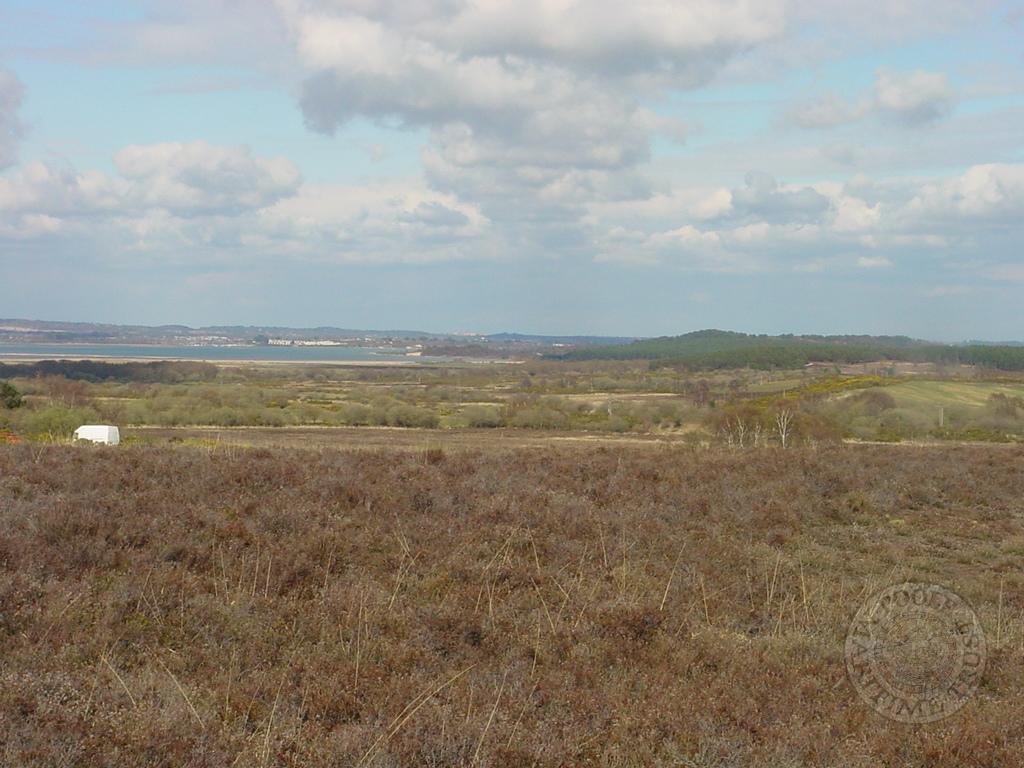
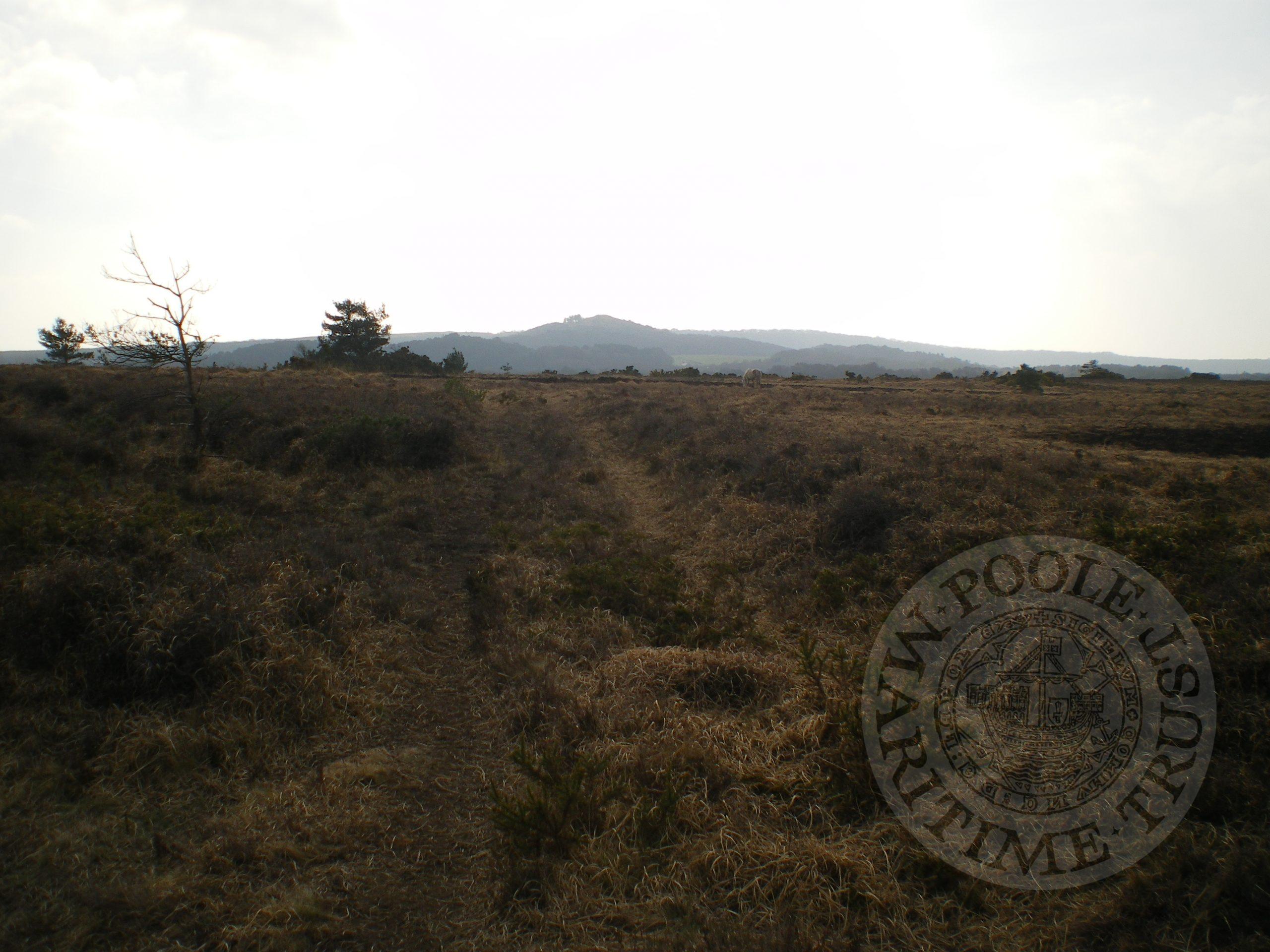
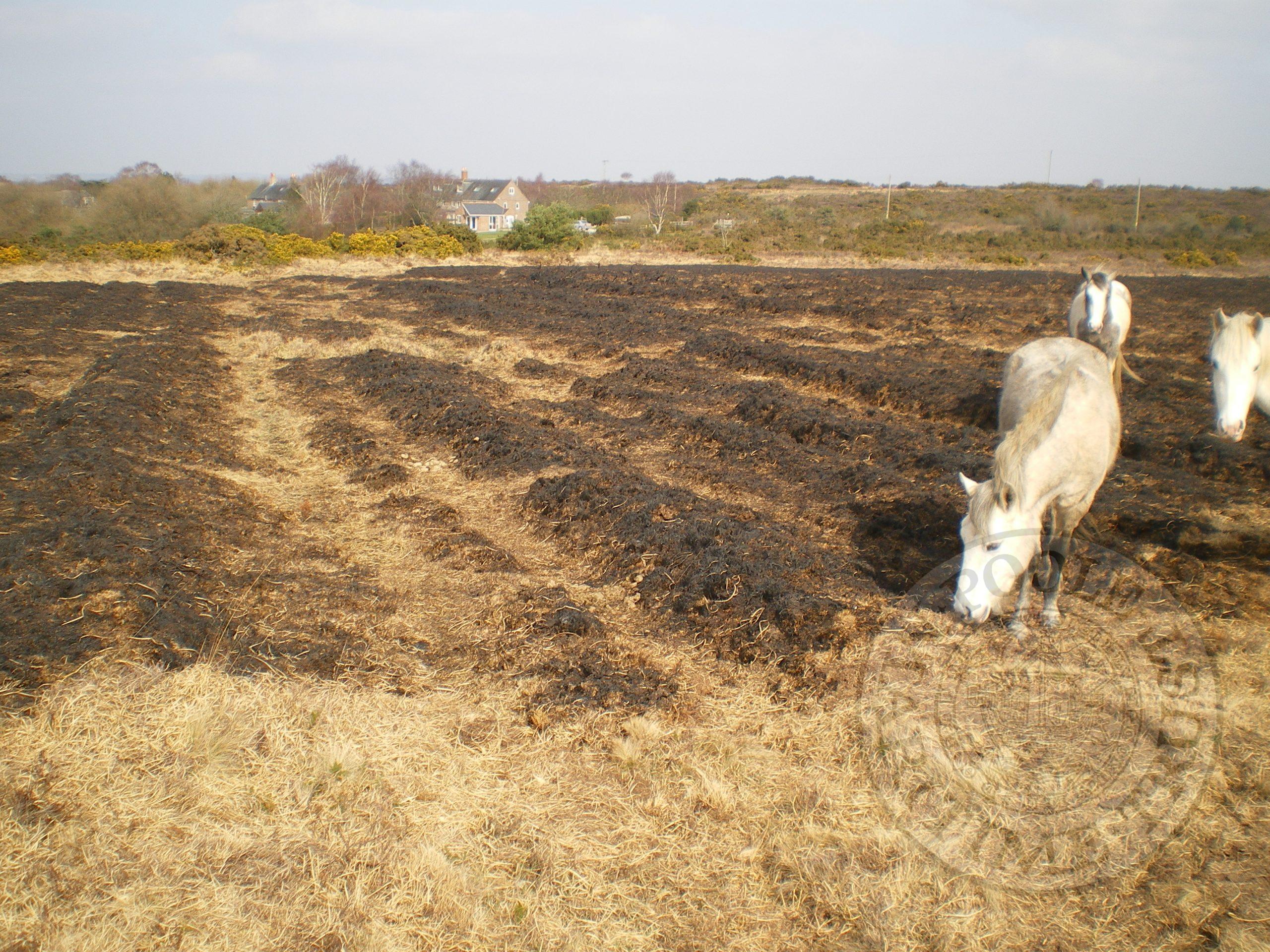
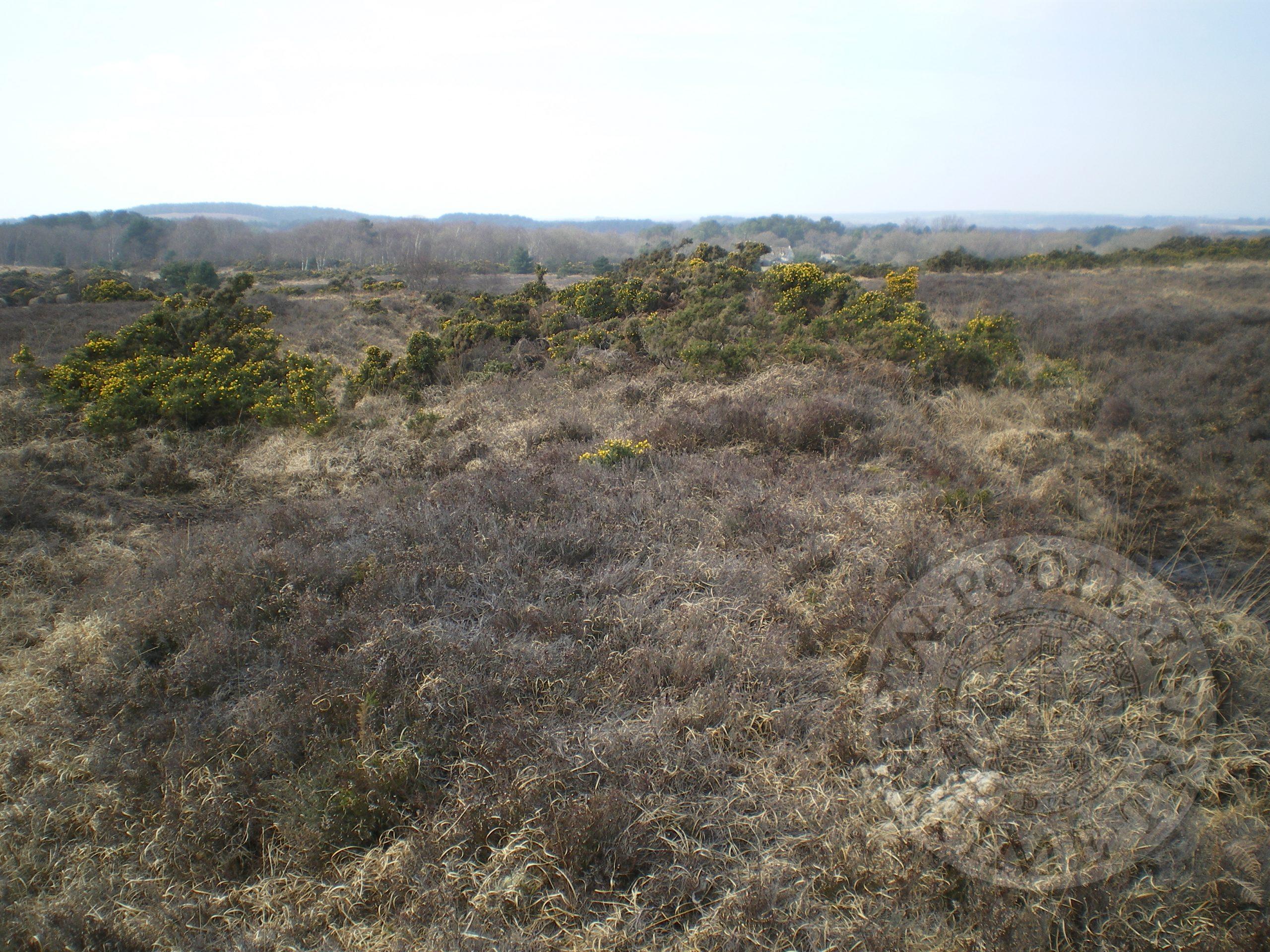
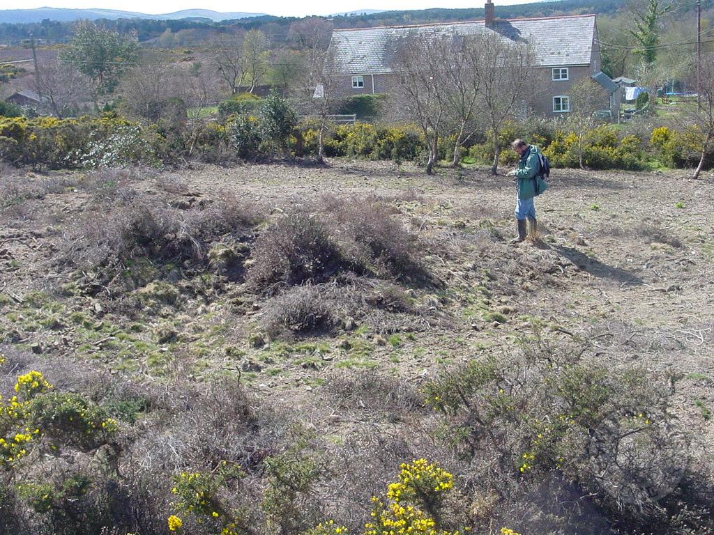
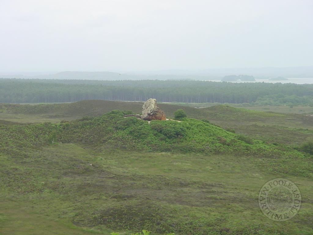
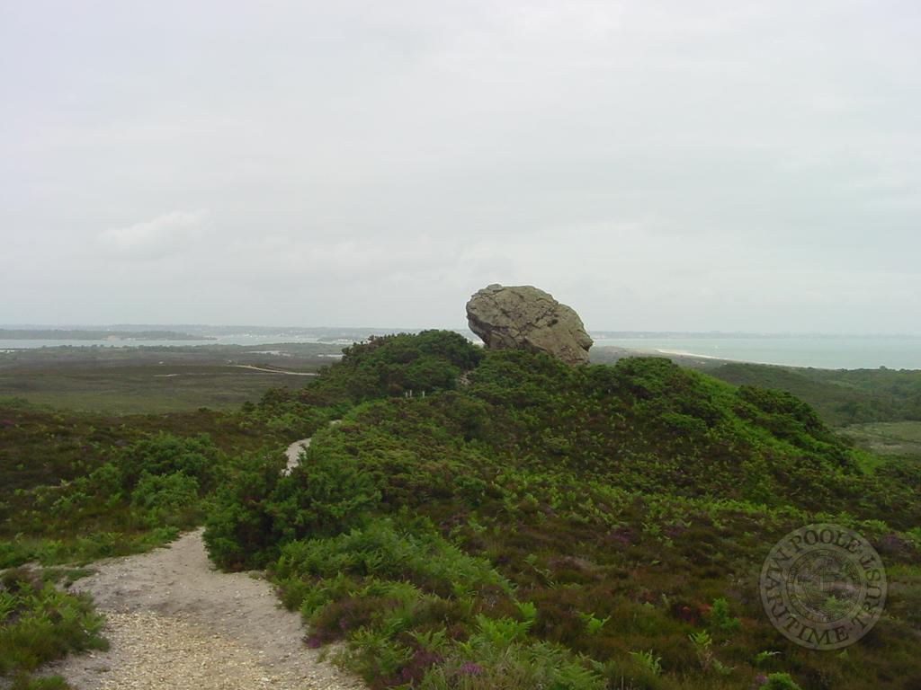
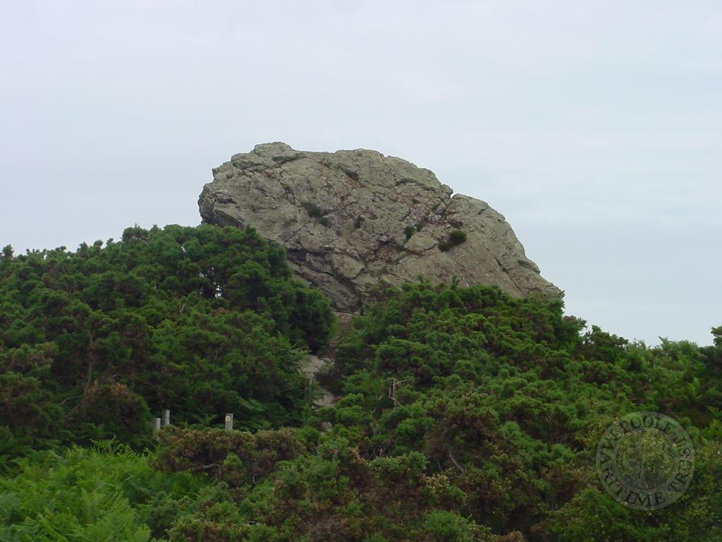
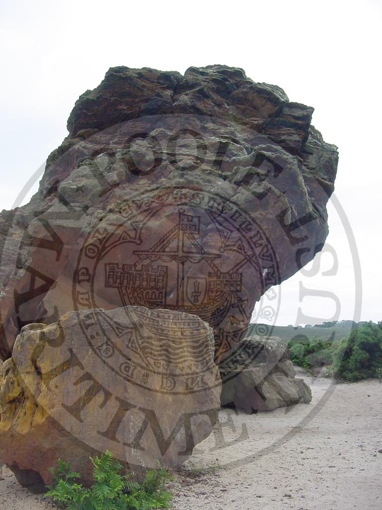
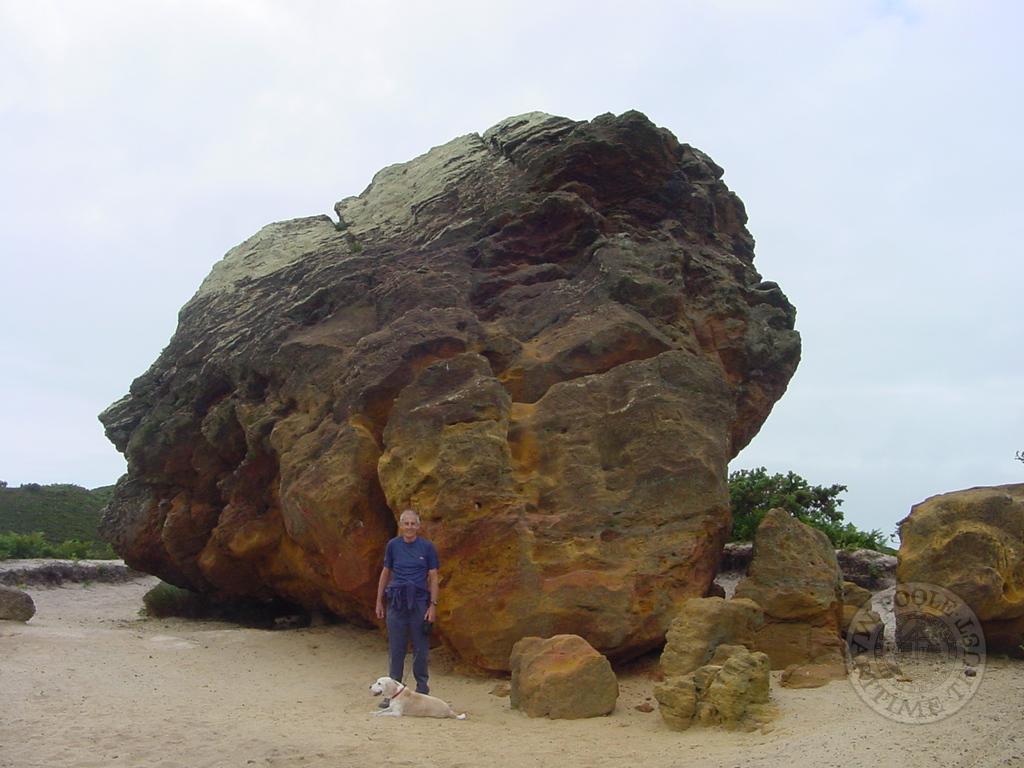
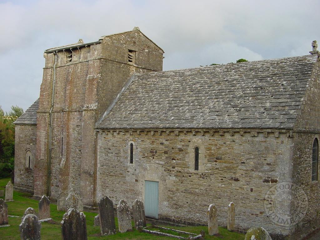
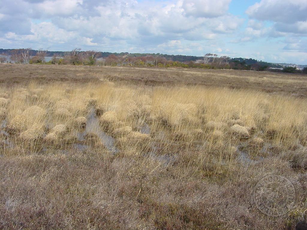
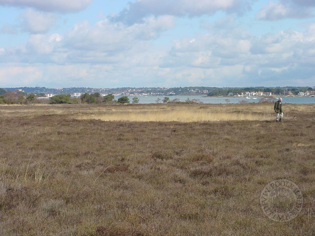
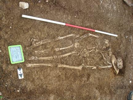
The following images are a sample of the images taken for the survey. Other images are available at PMT office.


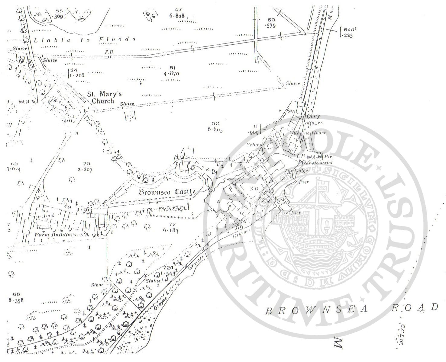
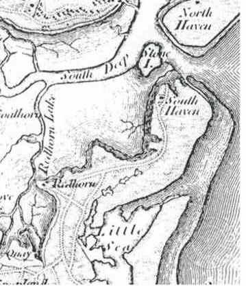
Map showing the position of the Brownsea War Memorial – from undated Ordinance Survey map
The War Memorial was probably rectangular 24inches wide 18 inches high, in stone with green and white markings, and the letters painted in black. Flowers were in the top corners with a half circle like a cut off tree underneath. It was possibly on the quay near the double gates.
Names included were:
- Alfred James Christian Biggs killed in France , March 1918
- Robert (Bob) Martin Biggs torpedoed in the Atlantic, injured, rescued but then died
- Ernest Frederick (Fred) Dean killed on the Somme, September 1916
- Joseph Thomas Dean killed in France, March 1918 – Wiltshire Regiment
- Herbert John Stickland killed at Gallipoli, August 1915 – 5th Dorset Regiment
- John Tizzard died in India, September 1919, probably from Malaria
There is no sign of this memorial today.
Brownsea Island War Memorial is marked on 1938 OS map Dorset 1:10560
Jack Battrick in his book, ‘Brownsea Islander’, states nearly 30 men volunteered or were called up from Brownsea to serve in the First World War (1914-1918), conscription started in 1916. Of these 30 only 6 returned alive. 2 of the Dean brothers were among the fatal casualties.
Other war casualties included the son of Rev Algeo the Vicar of Studland and at that time Brownsea Island.
Those who survived included Alfred Dean, Harold Gettings, Tiny Goddard, Northover
Brownsea Islander and information from Dot Orchard’s files – she wrote to the Ordinance Survey on 18/2/1996
Janet Mellors – Dot’s daughter March 2010

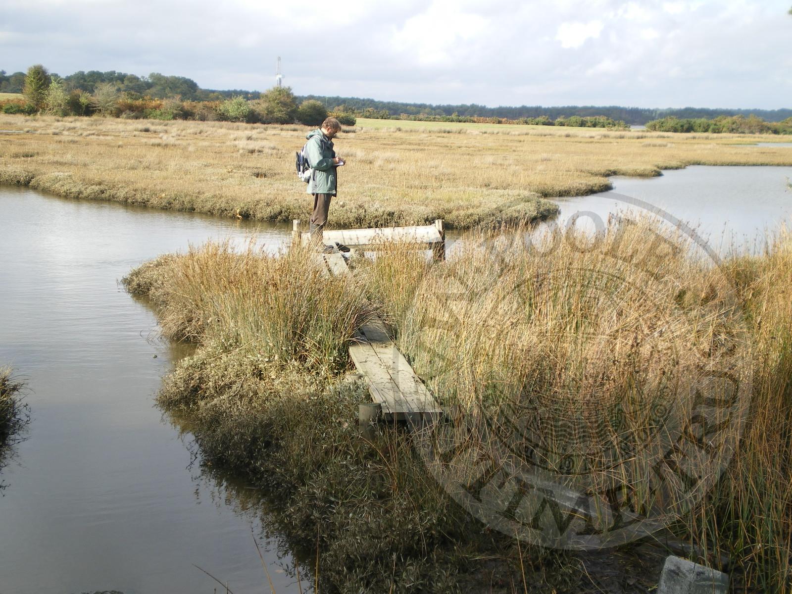
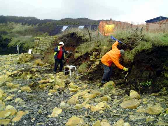


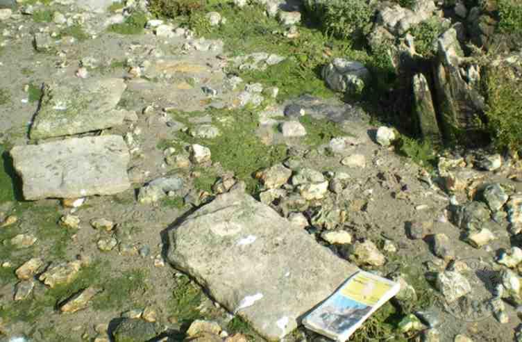
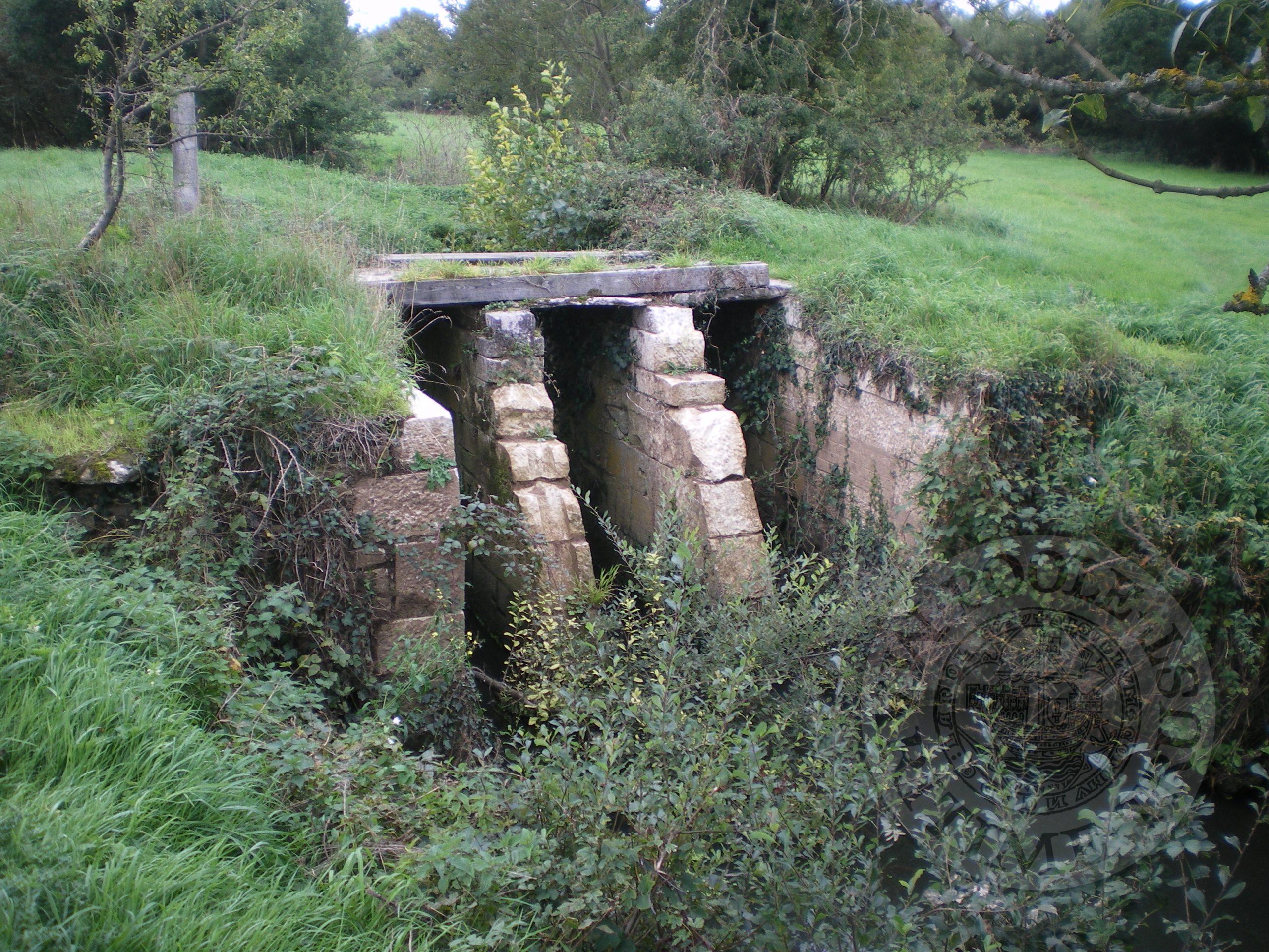
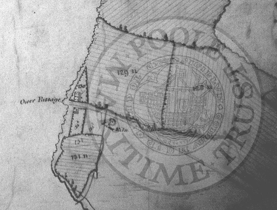
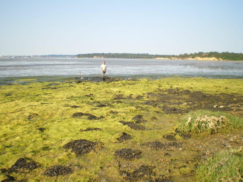
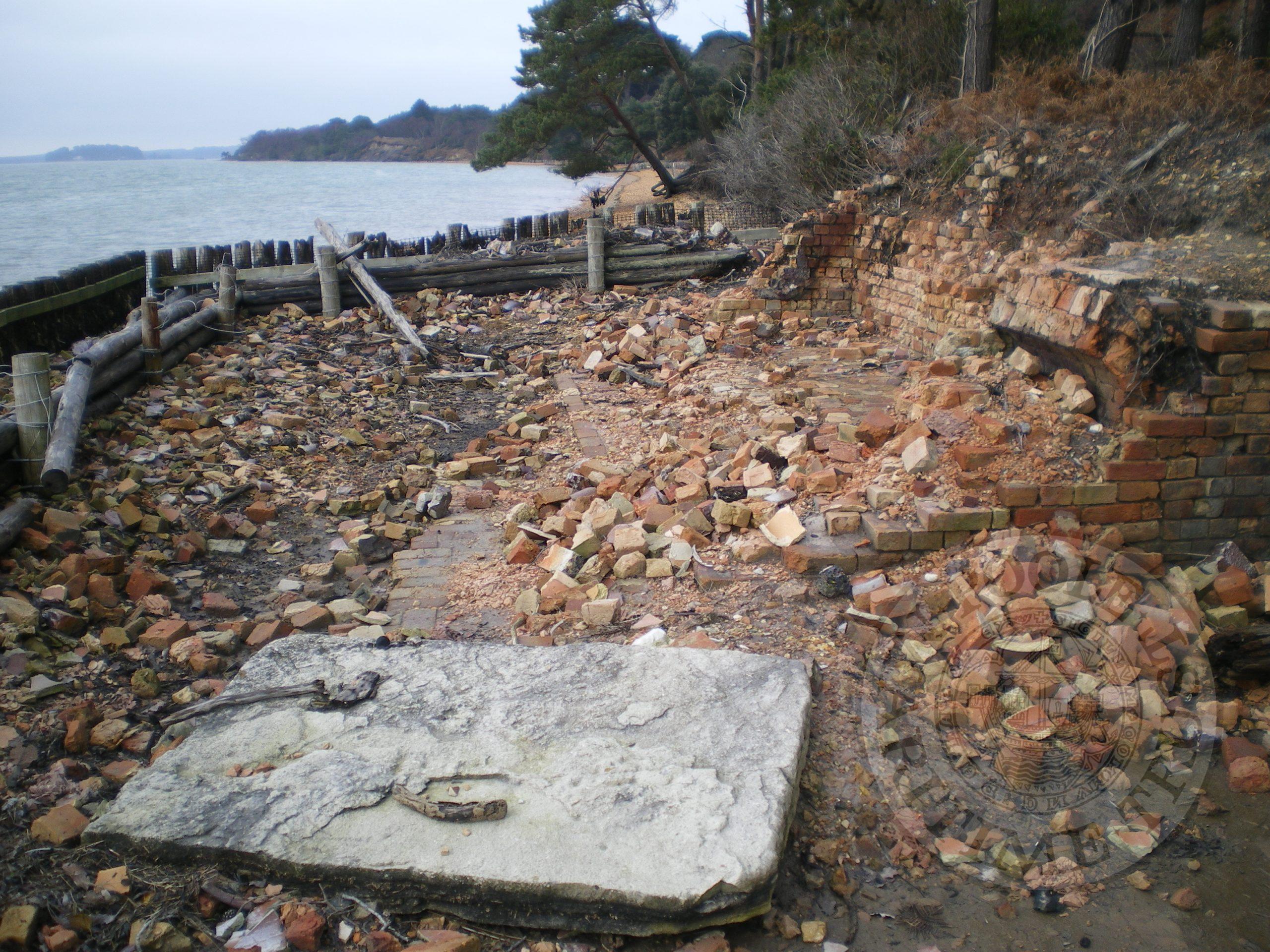
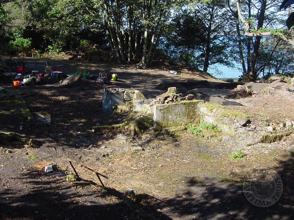
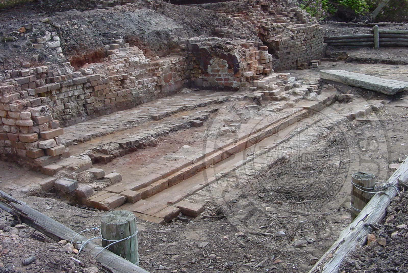
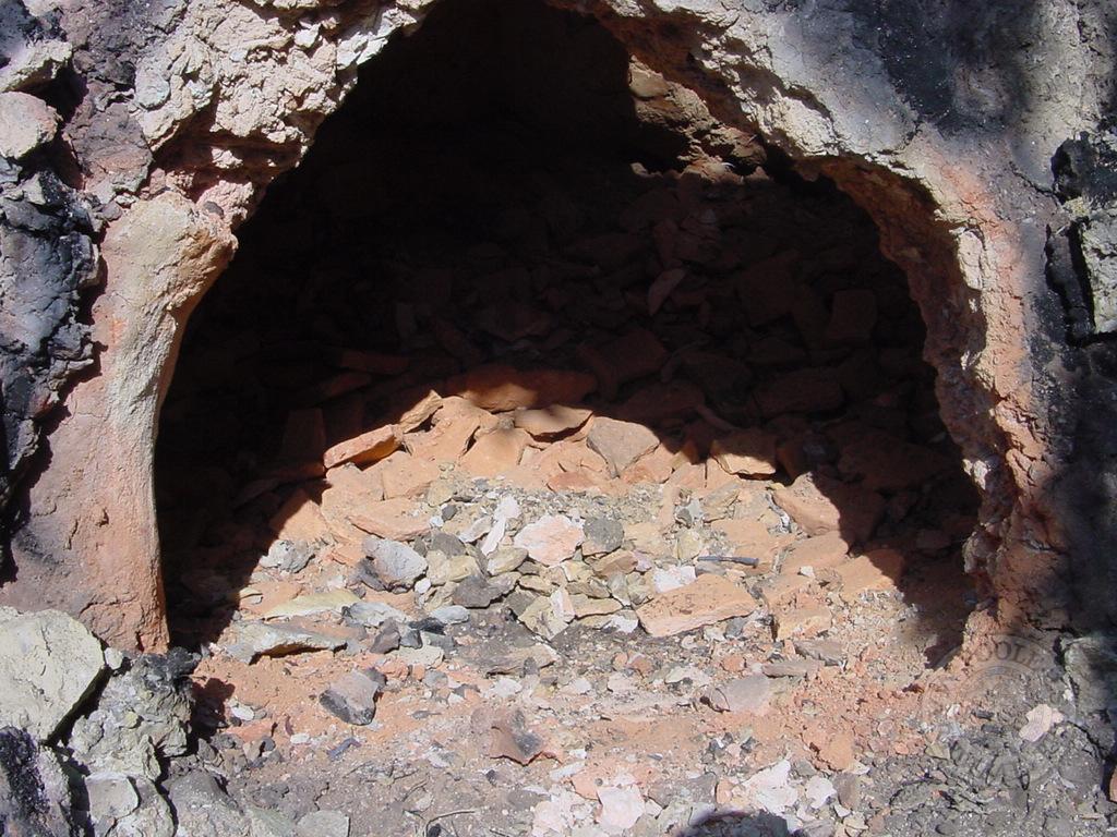
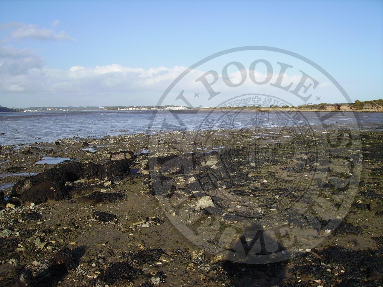
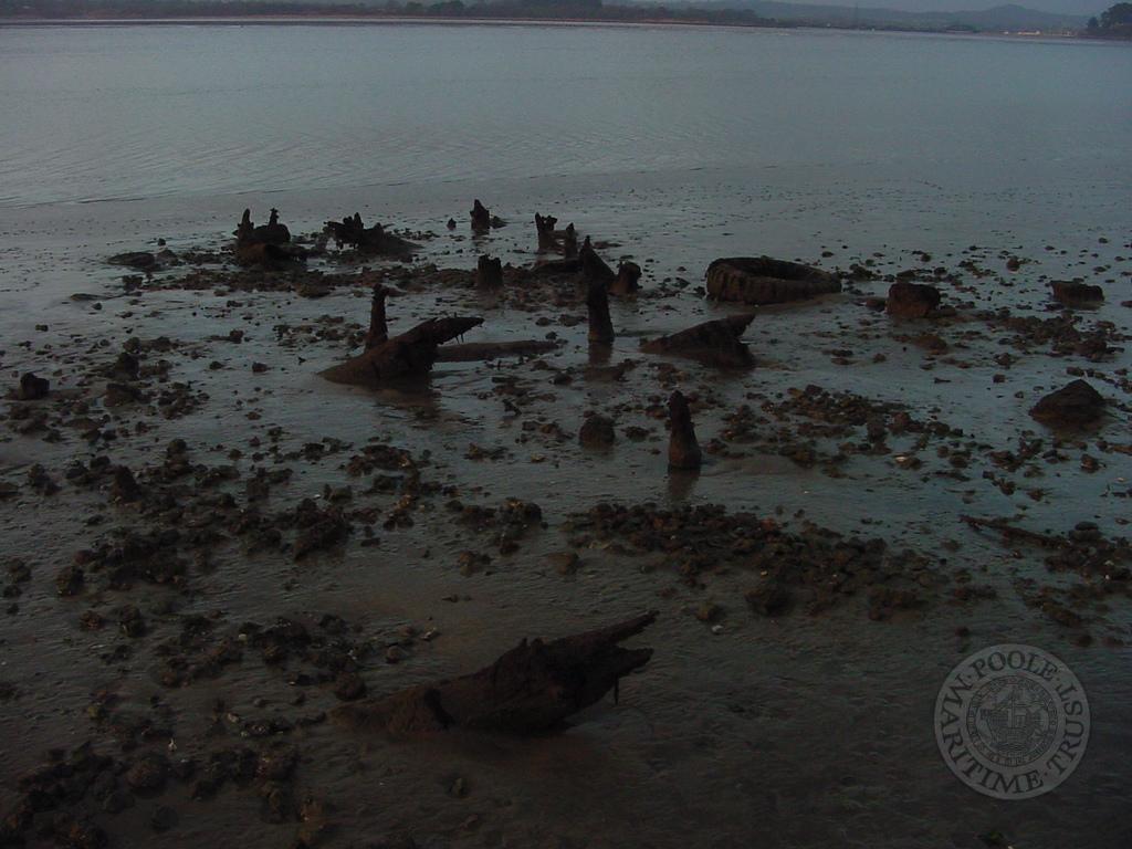
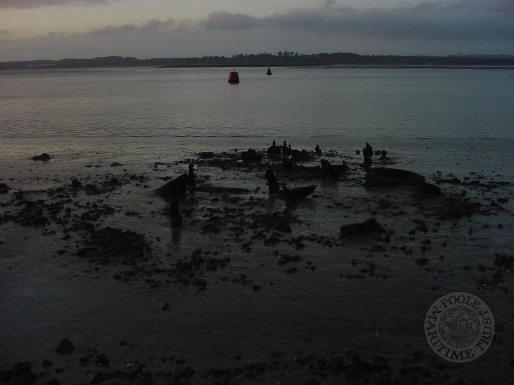
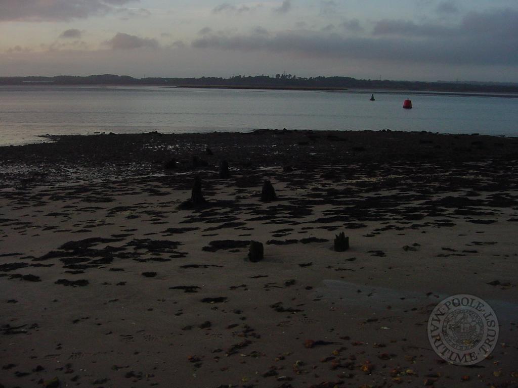
THE remains of an ancient quay have been discovered in Poole Harbour which could date from 1250.
Archaeologists have found possible remains of the medieval Ower quay preserved beneath mudflats, where a trackway runs down to the harbour edge.
Little is visible now but 800 years ago this was a scene of bustling activity as Purbeck marble destined for the cathedrals of England was loaded.
Archaeologist Keith Jarvis said: “It is exciting to have found archaeological remains of this important quay.”
The archaeologists had always believed the quay was probably at the end of the ancient track from Corfe Castle to Ower.
A visual survey revealed a few surface stones and a probe survey and trial holes revealed more stones beneath the surface.
They had to work quickly as the quay was only exposed for a few hours between tides.
An unusual feature was a large area of white pipe clay at one corner, showing the core of the quay was not all gravel but included other water-resistant materials.
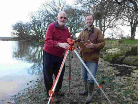
Project surveyor Alan Hawkins said: “It is amazing that traces of the core and facing stones still survive just under the mud of Poole Harbour.”
Historians have shown that the heyday of the Purbeck stone industry was 1250-1350 and stones from Purbeck were usually transported to Corfe Castle village where they were worked or partially finished.
The stone was then sent to Ower quay and taken to Poole to be put on larger vessels.
Corfe Castle has an ancient Guild of Marblers which still meets. They paid a yearly peppercorn rent and used to kick a football down to the quay to maintain their rights to the ancient route.
The 18th-century historian Hutchins considered the quay to be the main port of Purbeck in medieval times, however it was falling out of use by 1710.
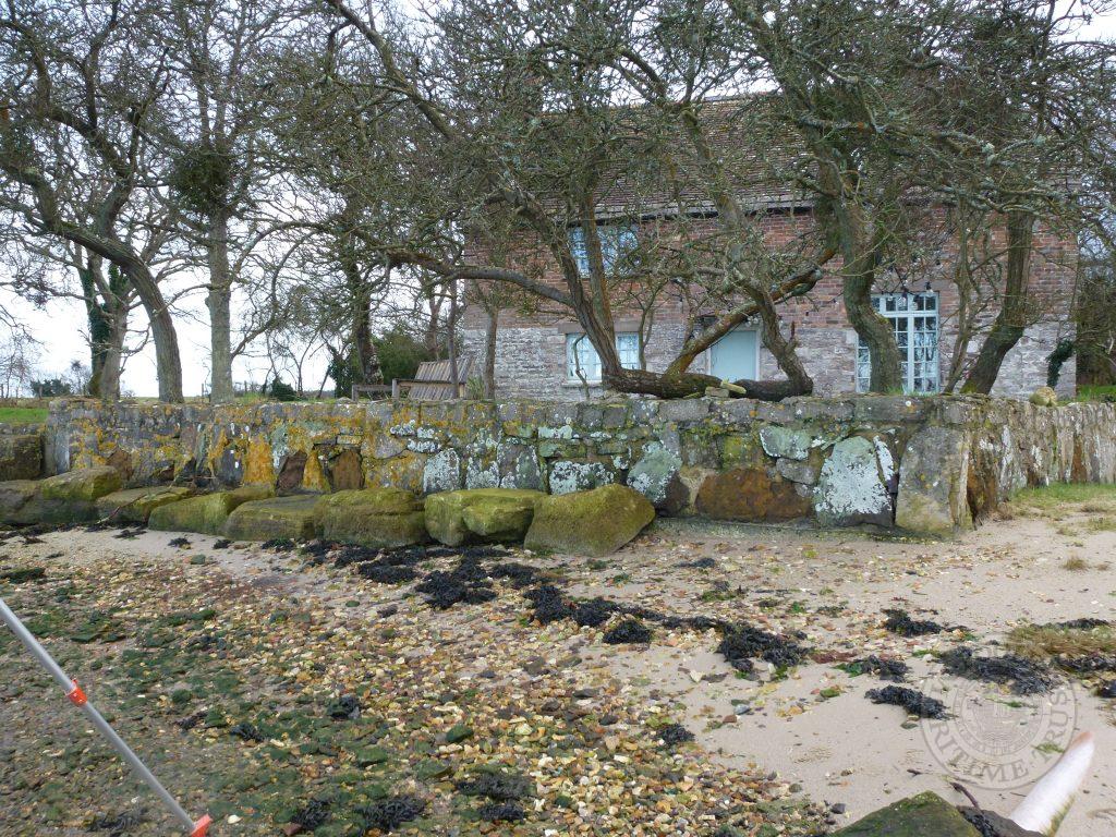
There was a passage house in earlier centuries where farmers and their wives waited on market days for ferry boats to Poole.
Keith, former archaeological officer at Poole Museums and retired building society manager Alan, believe the quay is similar to the later Redhorn quay and are grateful to the Rempstone Estate for allowing access to the site.
Evening Echo web 4 Mar 2014


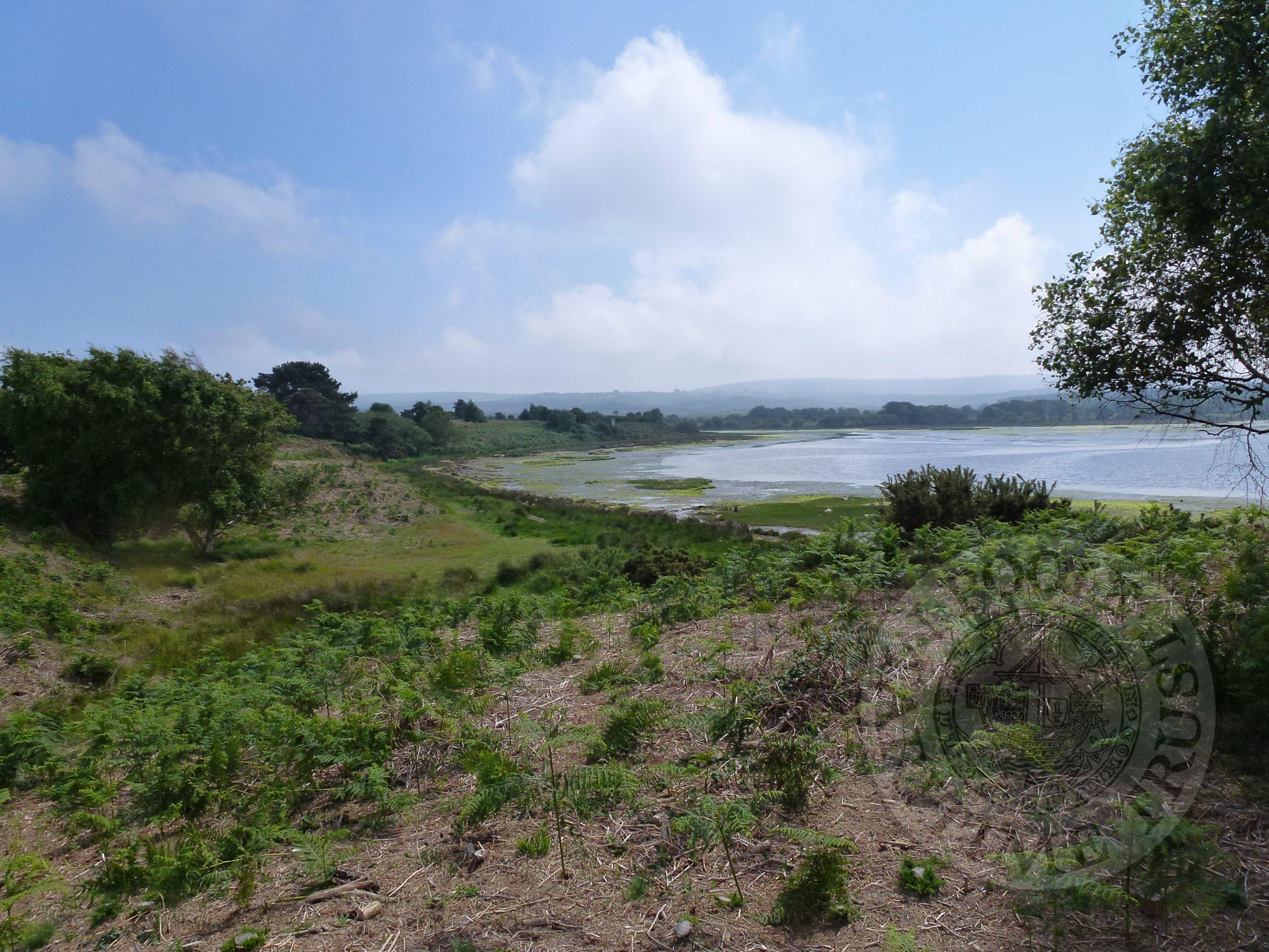


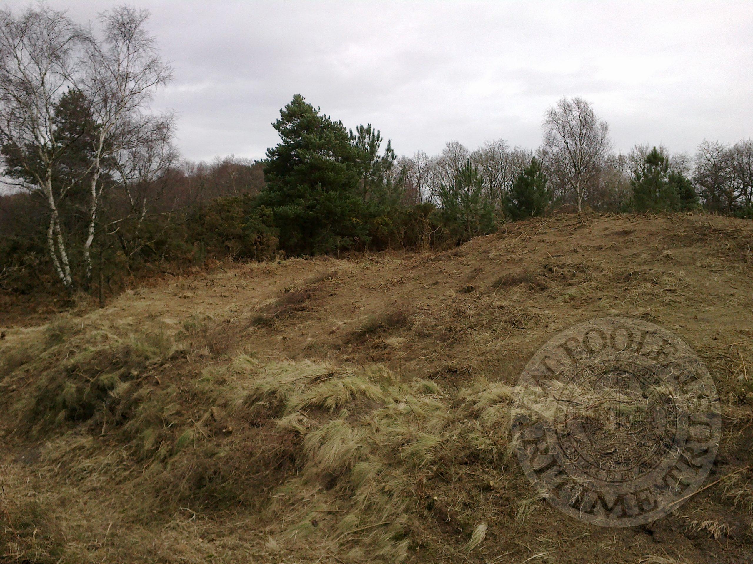
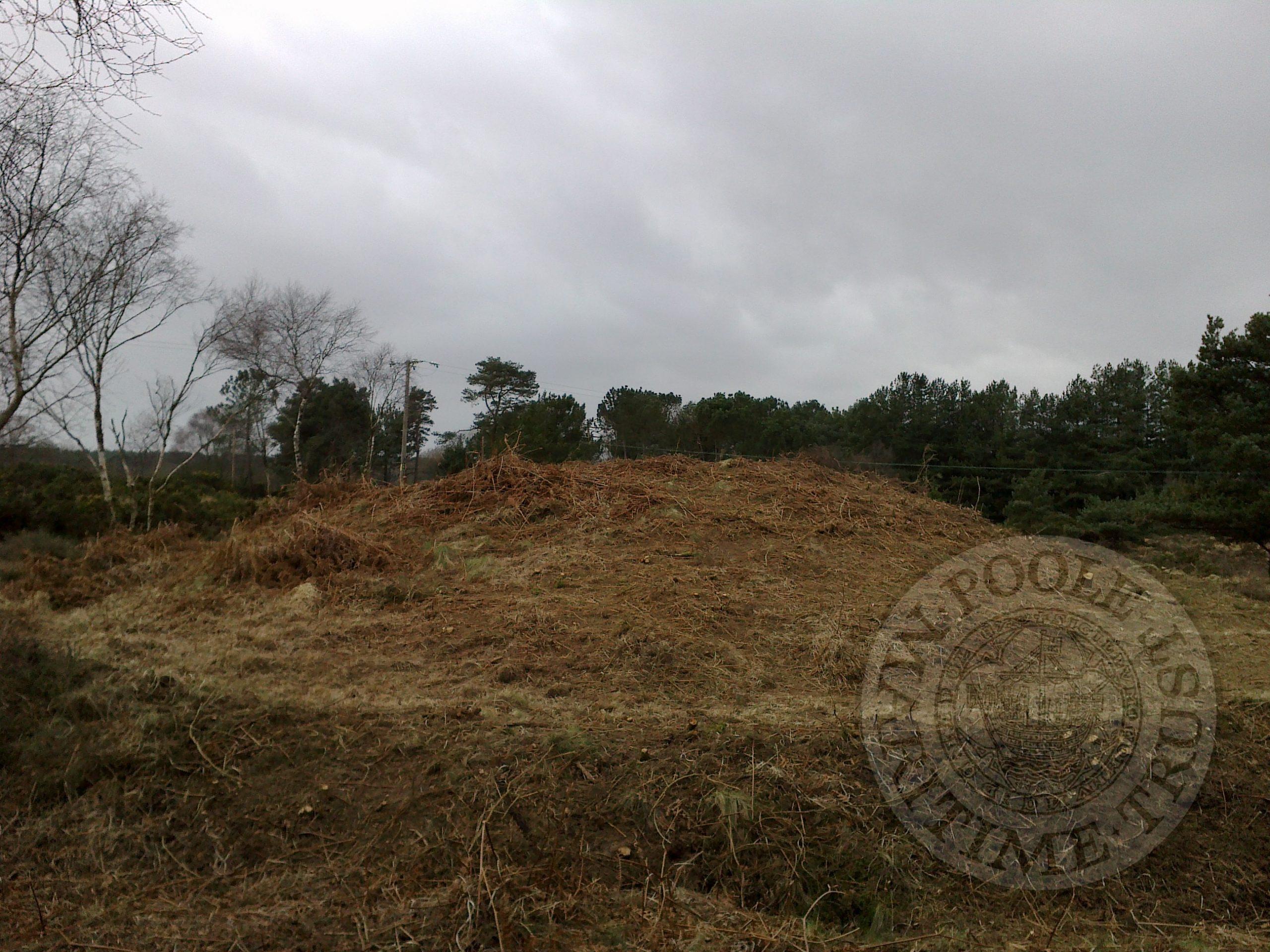

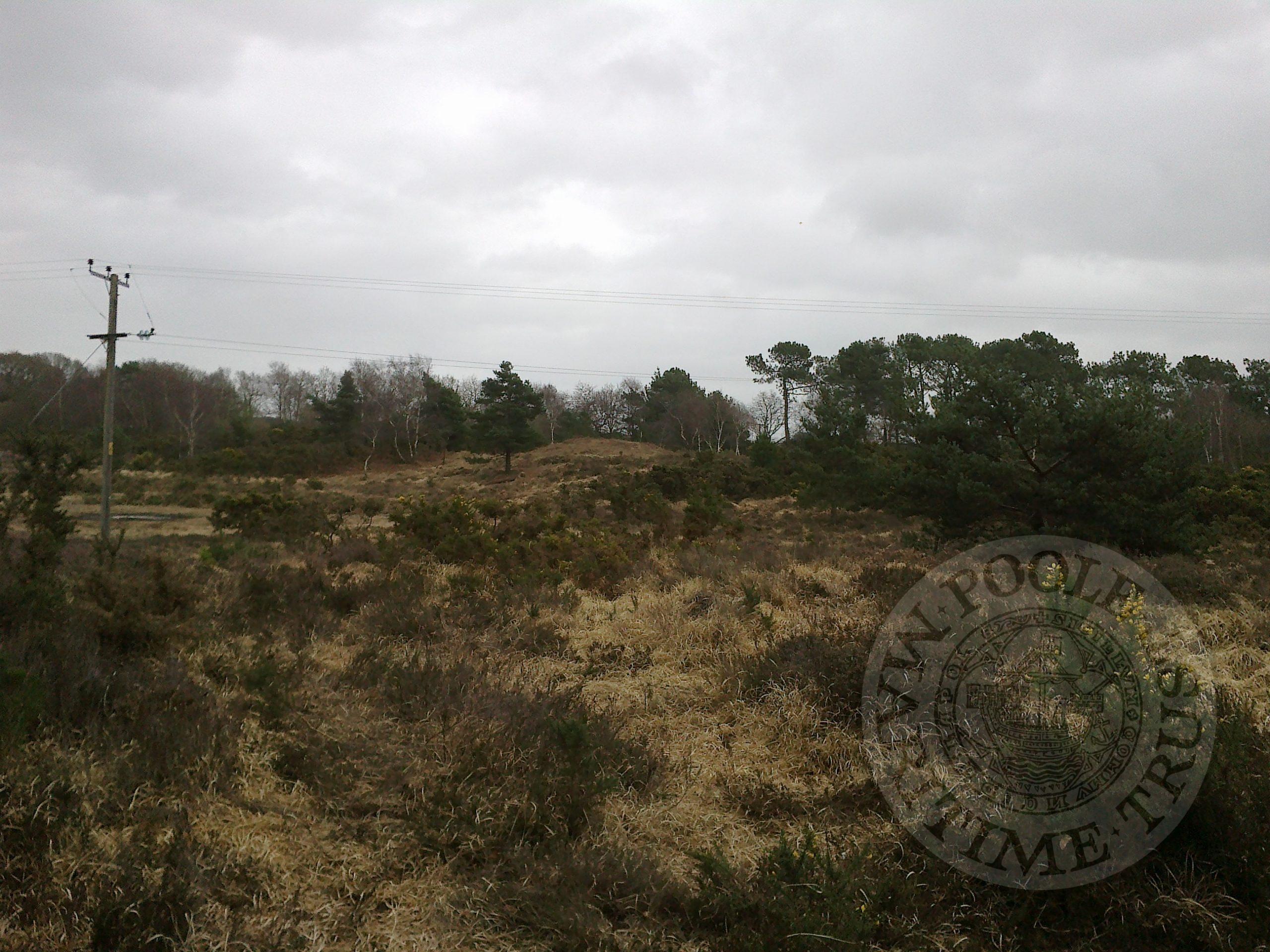
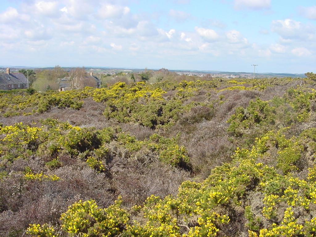

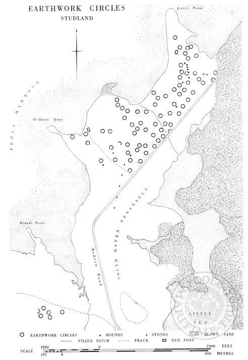
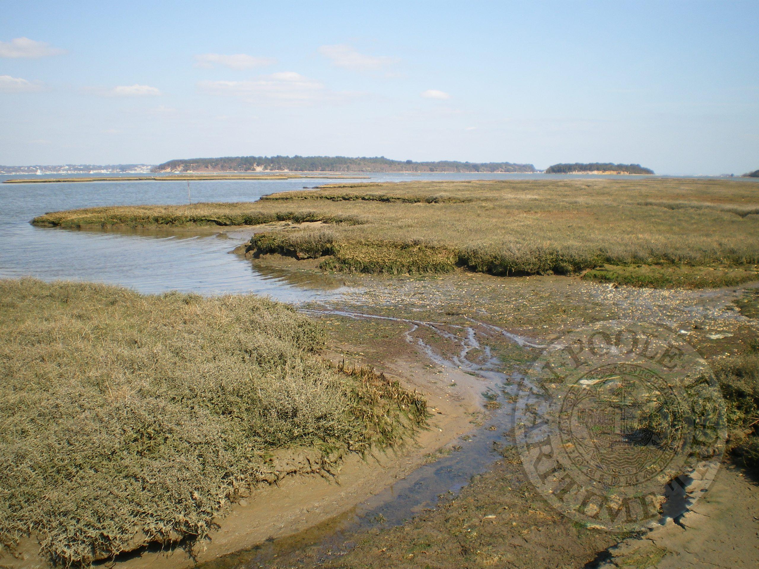
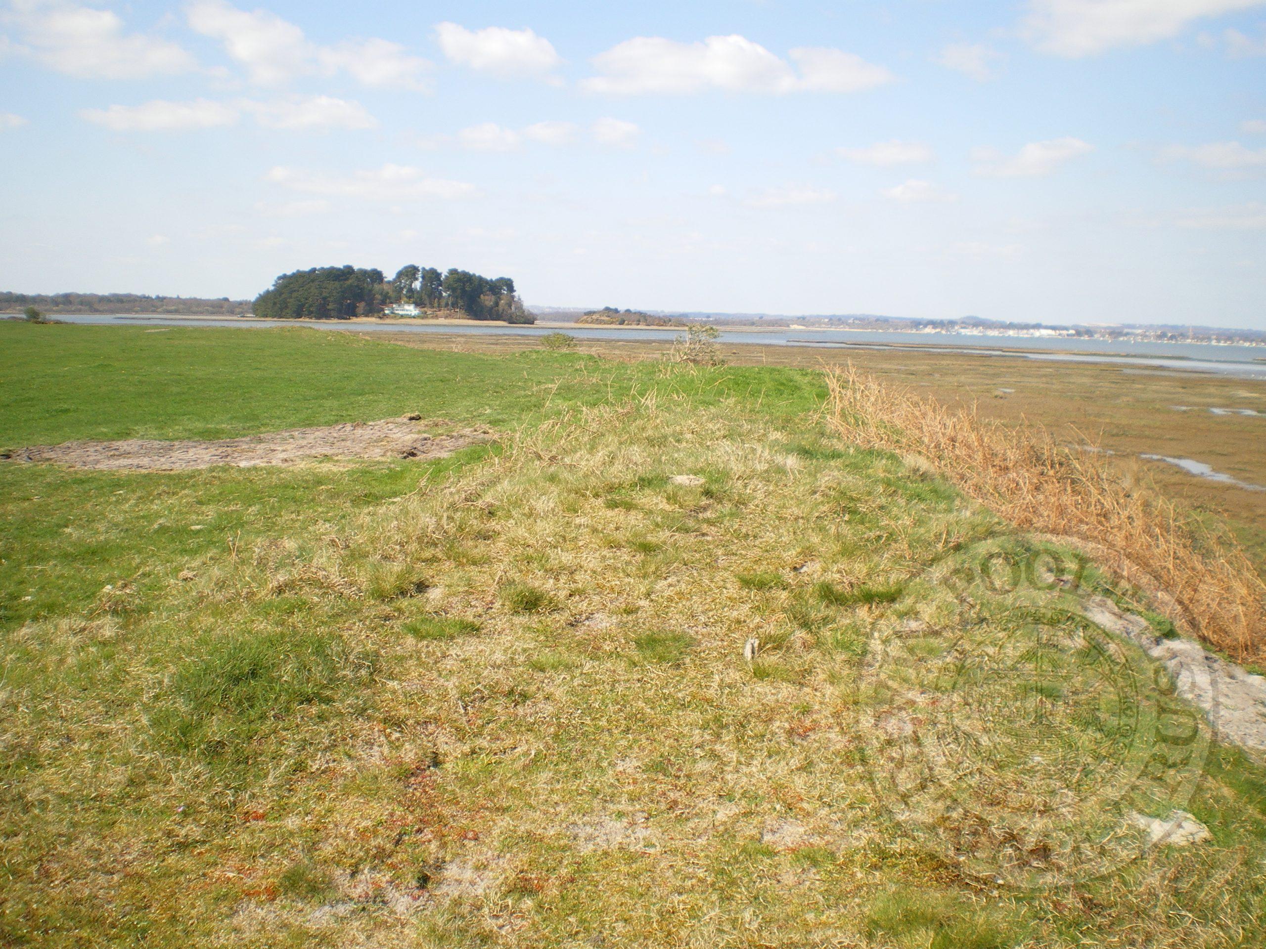
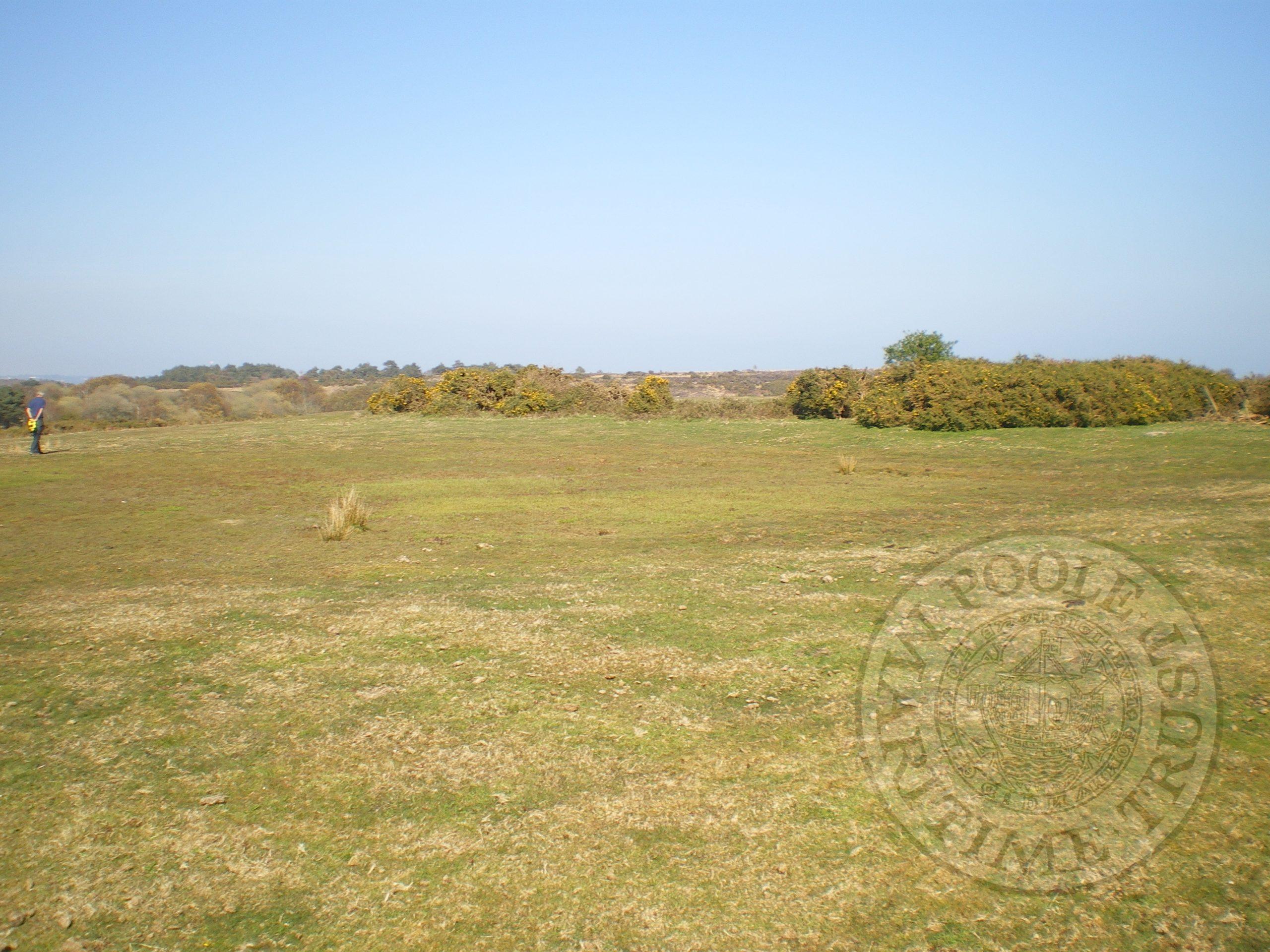
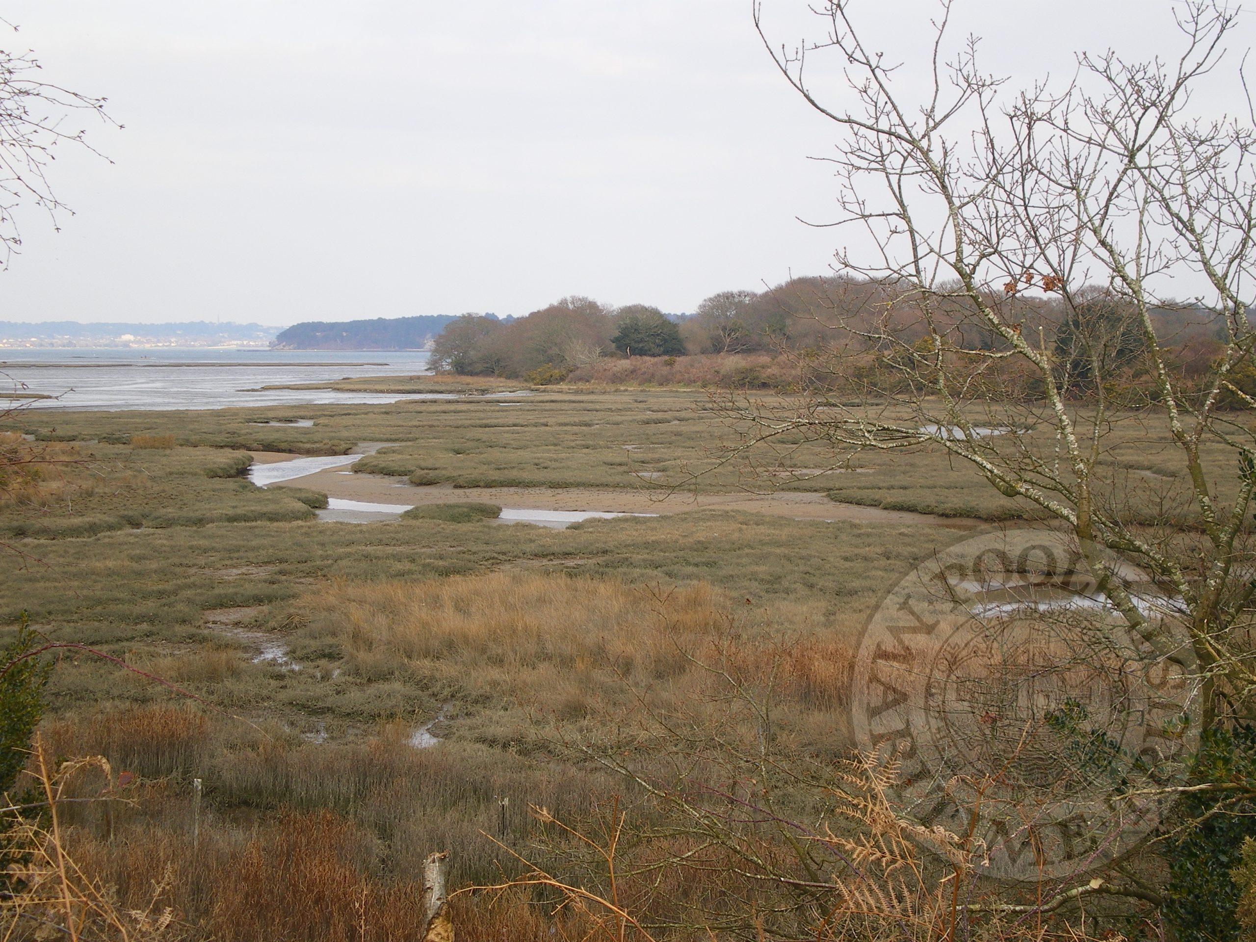
STUDLAND – The circles
Location
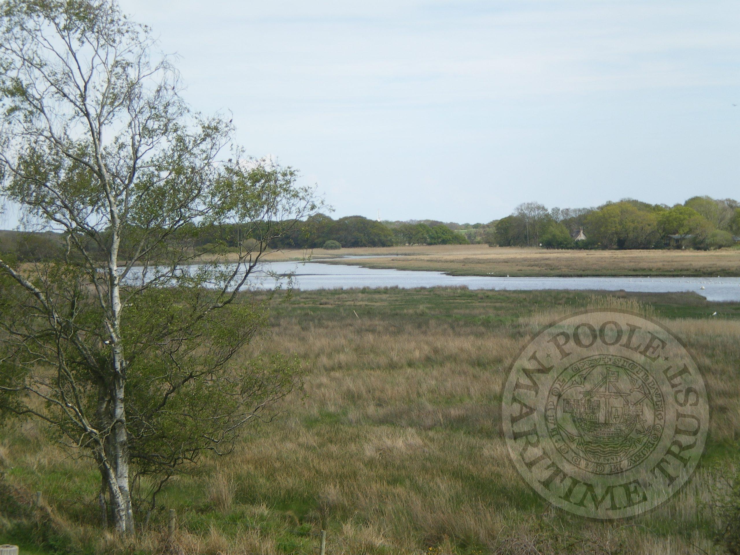
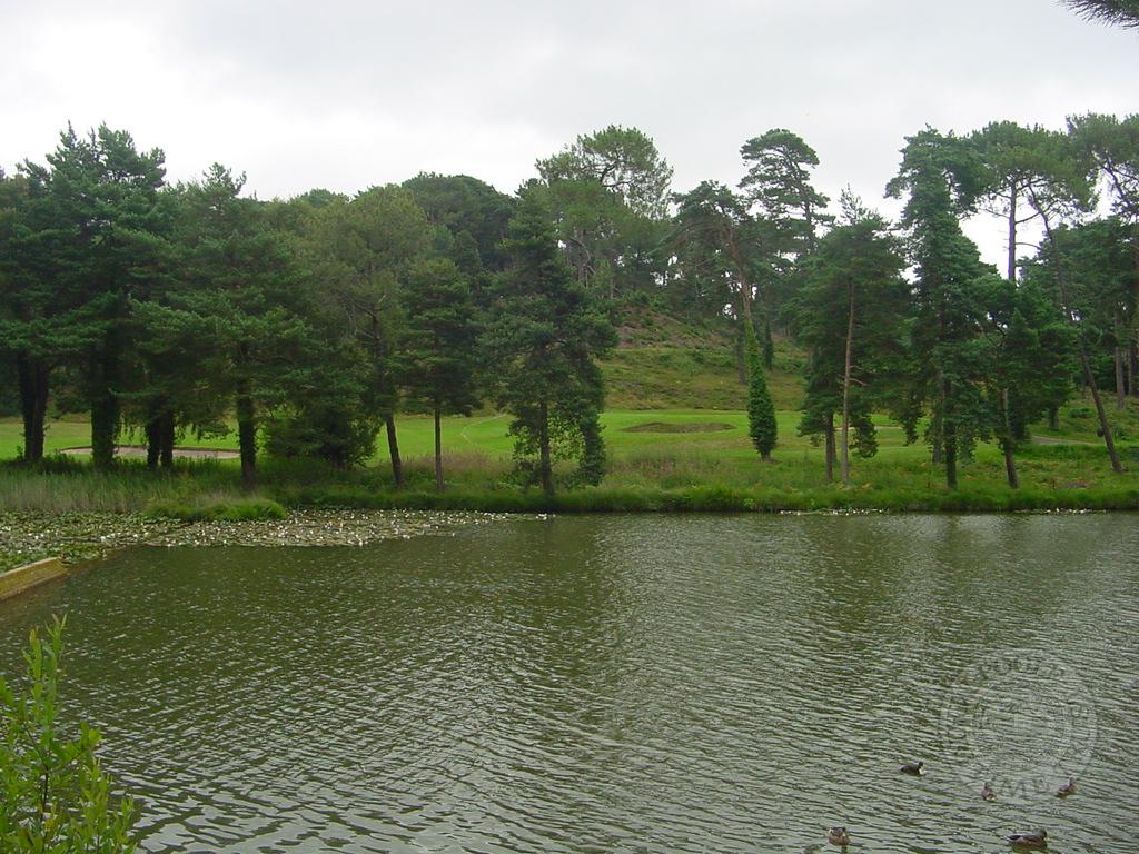
Two groups of circular features located on Studland Heath. The main group of c43 between Redhorn Quay and Jerry’s Point north of the Ferry Road – Kilometre square NGR SZ025855. This area is referred to as Plateau Heath. Second cluster at Greenland NGR SZ 018842
Description
Low banked features roughly circular with the interior material apparently scrapped out to for the surrounding bank. Tests by Bowen tend to indicate that the material from the interior would be more that required to make the bank. Many of the circles hold ground water.
Date
First recorded in the mid 19th century but no dating material has been linked to the circles. Possible reuse and WW2 disturbance makes dating difficult,
Purpose
Although generally regarded as associated with salt working carried out around the harbour there was no evidence to support this when two circles partially excavated in 1962. Various uses for these features have be put forward and are considered in details elsewhere.
Investigations
Two main projects ongoing by the PHHP ltd are on salt making around the harbour and the copperas and alum industry. A field survey of the area is underway and with agreement of the National Trust and English Nature a full survey of Circles is planned for the Autumn of 2007.
Possible uses
- Salt making – the circles are approx 10m above sea level and any process to extract salt would leave residues or burning of which there are non.
- Copperas and alum – similarly no evidence of burning. It is now considered copperas may be extracted from the clays and could result in these processing ponds.
- Clay or gravel extraction. – is a possible use but evidence and the process to be shown.
© phhp/ajh
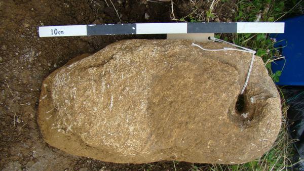
Prehistoric glass at Worth Matravers
During excavations at Worth Matravers in 2010, an insignificant piece of colourless glass together with some animal bone and pottery fragments were found in a small pit. The pit itself was completely covered and sealed by a large quernstone. The pottery which dated to about 600 BC hinted at the antiquity of the glass, but such material is almost absent from Britain at this date.
The glass fragment which is part of a finger ring, was sent to Professor Julian Henderson at Nottingham University for investigation and chemical analyses. Initial results indicate that the glass is of a soda lime type and possibly made from raw materials occurring on the Levantine (modern Lebanon) coast. Antimony had been added as a clarifier and the Worth glass is a very early example of this technique. Further tests will give a ‘diagnostic signature’ on the raw materials of the glass, pinpointing the exact place of manufacture. This rare ring fragment is contemporary with the associated pottery and is the earliest piece of glass to have been found in Dorset. The links with the Middle East at this date are intriguing, hinting at long distance, maybe even Phoenician trade in luxury goods.
Lilian Ladle
East Dorset Antiquarian Society
The Worth Matravers Archaeology Project